
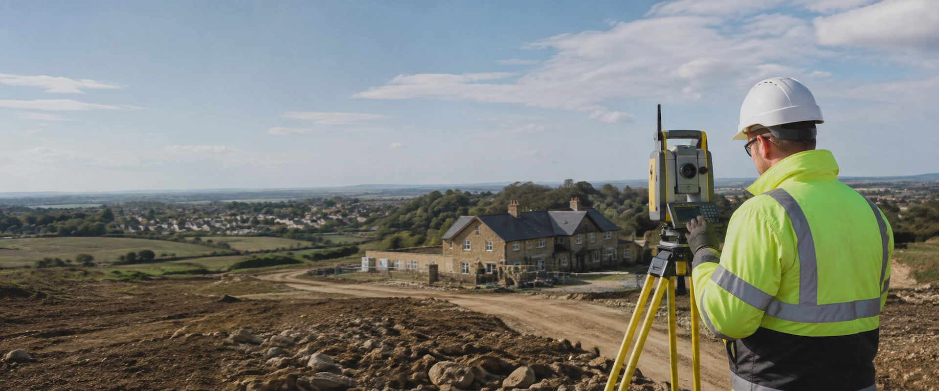
Surveying News, Technical Guidance & Project Insights
Practical surveying knowledge from Pinpoint Mapping.
Our News & Surveying Insights section brings together technical guidance, project updates and useful information for architects, planning consultants, property developers and property owners.
We share practical information about modern surveying methods, survey technology, project preparation and the accurate spatial data used to support planning, design, refurbishment and construction projects.
Latest Surveying News & Insights
Explore our latest surveying articles, technical guides, project updates and practical advice covering land surveying, measured building surveys, laser scanning, aerial surveying and modern spatial data capture.




Explore Our Core Surveying Topics
Our surveying insights draw directly on the services, equipment and project experience used by Pinpoint Mapping across Bristol, Bath, the South West and throughout the UK.
Topographical Surveys
Learn more about site levels, contours, boundaries, existing features, survey control and the accurate land survey information required for planning, engineering and development projects.
Measured Building Surveys
Read about measured floor plans, elevations, sections and detailed existing-building information used by architects, designers, property professionals and refurbishment teams.
3D Laser Scanning
Discover how high-density laser scanning captures existing conditions accurately and how registered point cloud data can support CAD drawings, measured surveys and BIM workflows.
Survey Technology, Data & Deliverables
Modern surveying involves far more than simply recording dimensions on site. Our technical articles explain how different survey methods are used, what information they produce and how that information can support better project decisions.
Topics include topographical surveys, measured building surveys, highway surveys, aerial drone surveying, 3D laser scanning, registered point clouds, CAD drawings, Scan to BIM and other forms of geospatial data capture.
We also cover practical considerations including survey specifications, site access, accuracy requirements, coordinate systems, data formats and the information required when requesting a survey quotation.
Useful Information for Planning, Design & Construction
Accurate existing-condition information provides a reliable foundation for design and planning work. Understanding the correct survey method, required level of detail and appropriate deliverables at an early stage can help reduce uncertainty later in a project.
Our surveying news and guides help clients understand what survey information may be required before commissioning work and how different datasets can be used by architects, engineers, planning consultants and other members of the project team.
For wider professional information relating to land, property and surveying standards, visit the Royal Institution of Chartered Surveyors.
Discuss Your Measured Survey Requirements
Send us details of the site address, approximate building or site size, areas requiring surveying/scanning and the drawings or model outputs you require.
We will review the information and confirm the recommended survey scope, deliverables and quotation for your project.