
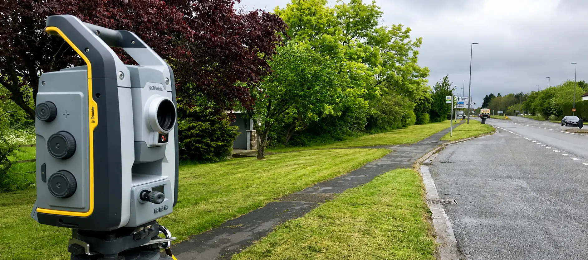
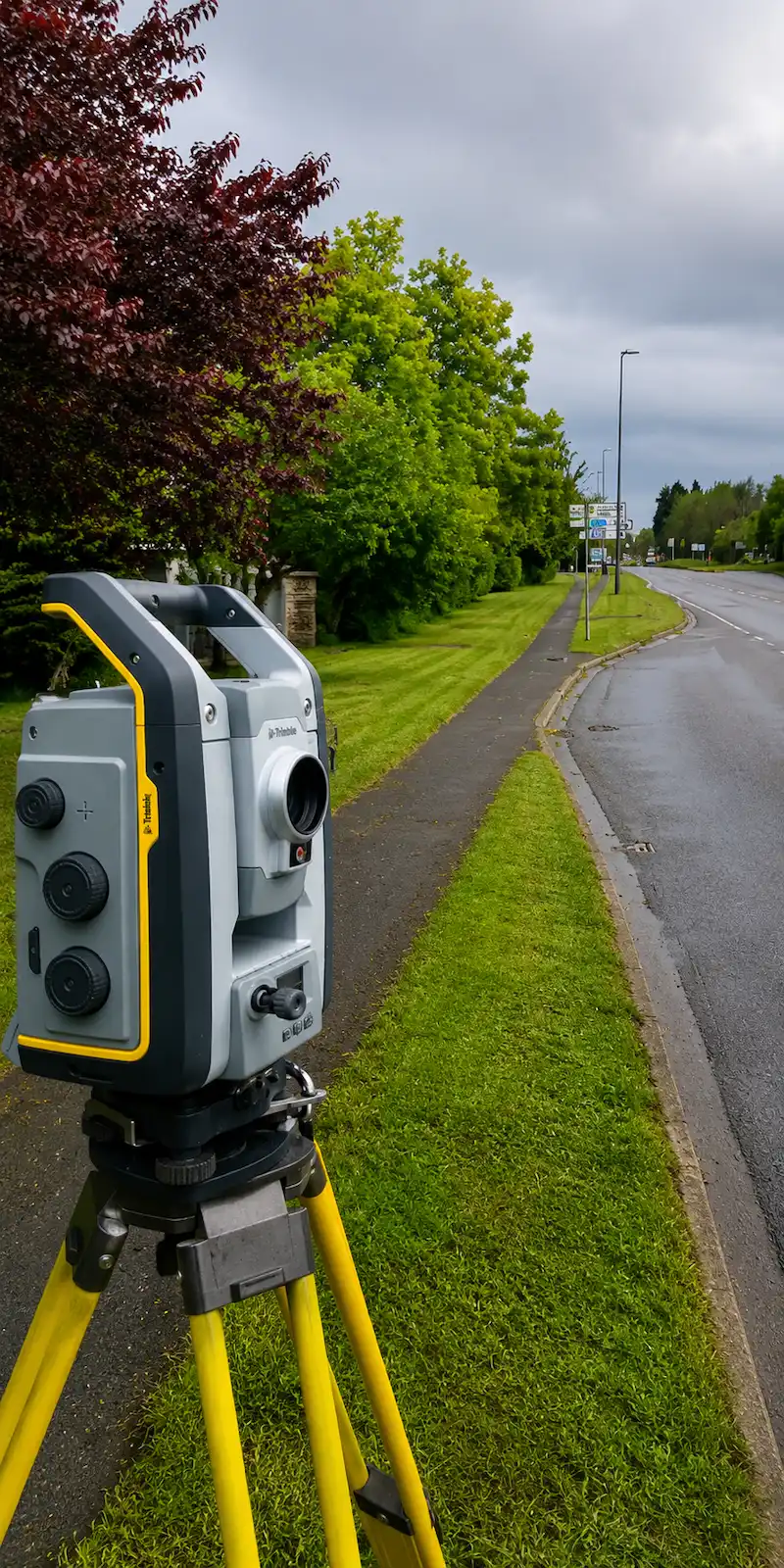
Highway Surveys for Planning and Reliable Design Decisions
Pinpoint Mapping provides highway surveys in Bristol, Bath and across the South West for local councils, civil engineers, transport consultants, project managers, developers and contractors.
Highway surveys create a coordinated measured record of the existing road environment, including carriageway features, levels, footways, verges, drainage features, road markings and street furniture. This gives the project team reliable information for feasibility, planning, detailed design, construction and as-built records.
Our highway surveys are scoped around the survey area, required level of detail, coordinate system, safe working arrangements and final deliverables. The aim is to provide practical survey data that can be used confidently by the design and project team.
Where required, highway survey information can be integrated with a wider topographical survey of the adjoining development site. We can also coordinate survey information with 3D laser scanning, 3D point cloud data, utility surveys and aerial drone surveys where appropriate.
What a Highway Topographical Survey Records
The precise content is agreed for each project. A typical highway topographical survey can record the visible physical features and levels needed by the design team.
Carriageway and Levels
- Carriageway edges and channels
- Kerb lines, dropped kerbs and upstands
- Road markings, lanes and traffic islands
- Spot levels, gradients and changes of slope
- Longitudinal and cross-sectional information
Footways and Drainage
- Footways, cycleways and pedestrian areas
- Verges, embankments and surface changes
- Gullies, channels and visible drainage features
- Inspection covers and service covers
- Accesses, crossings and tactile paving
Roadside Features
- Signs, signals, bollards and barriers
- Streetlights, poles and street furniture
- Trees and significant vegetation
- Walls, fences, hedges and visible boundaries
- Adjacent structures where required
Highway Surveys for Development and Infrastructure Projects
Highway surveys can support a project from early feasibility and planning through to detailed design, construction and final record surveys.
Development and Access Schemes
- New vehicular accesses and visibility splays
- Development entrances and estate roads
- Surveys supporting Section 278 improvement schemes
- Surveys supporting Section 38 adoption schemes
- Planning applications and transport design
- Connections between development sites and the existing highway
Highway and Infrastructure Works
- Junction, roundabout and carriageway improvements
- Footway, cycleway and pedestrian crossing schemes
- Drainage, resurfacing and public realm projects
- Bridge, culvert and retaining structure surveys
- Route surveys for linear infrastructure
- As-built highway and infrastructure records
Need a Highway Survey for Your Project?
Send us the site location, proposed survey extent, required features and intended deliverables, and we’ll advise on the appropriate highway survey scope, method and quotation.
Request a Survey QuotationSurvey Methods Used for Highway Surveys
The method used for highway surveys is selected to suit the road environment, required accuracy, level of detail and safe working arrangements. One method or a combination of survey technologies may be used.
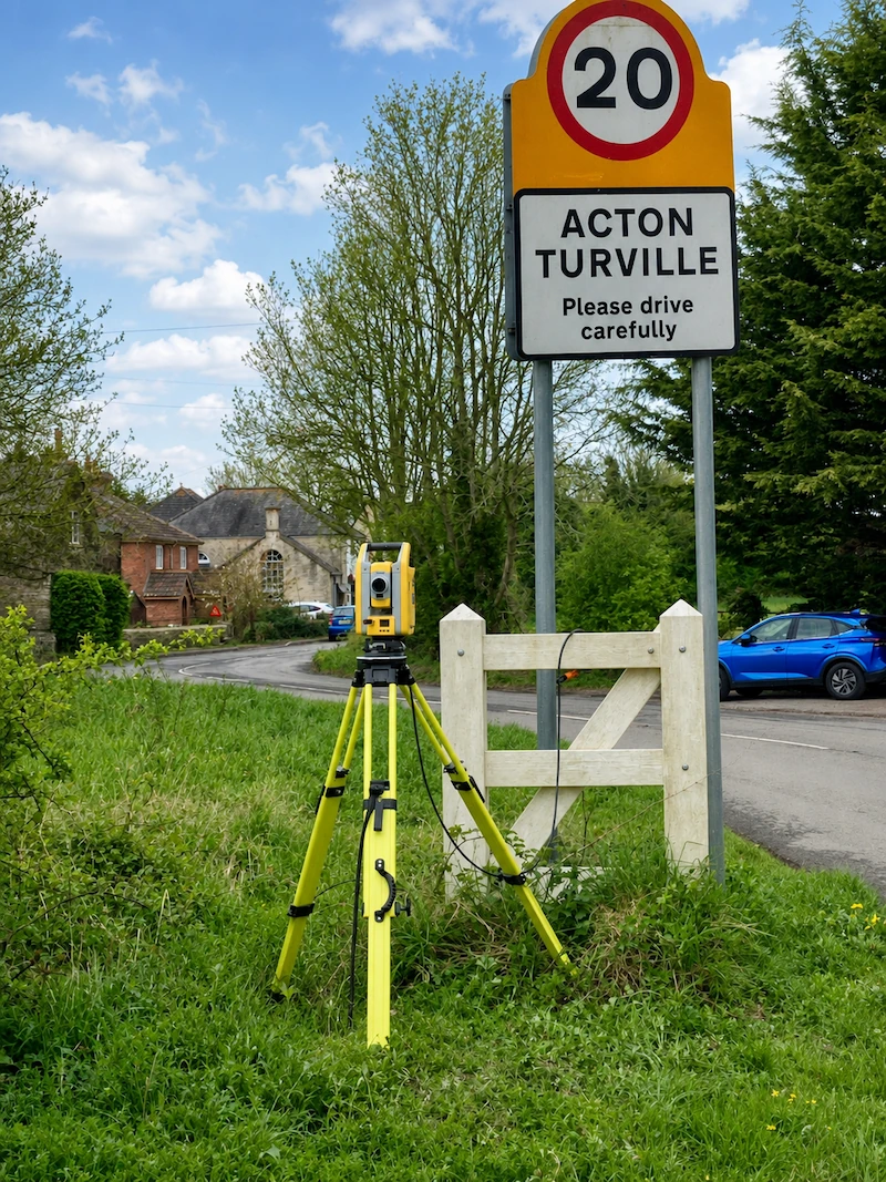
Total Station Surveying
Survey-grade total stations are used to measure coordinated detail, levels and control points. They are well suited to recording kerb lines, road markings, drainage features, street furniture and other defined highway features.
GNSS Survey Control
GNSS equipment can establish survey control and relate the work to the Ordnance Survey National Grid and Datum where site conditions and the project brief require it.
3D Laser Scanning
Our survey-grade Trimble X9 3D laser scanner can capture dense measured information across complex roads, structures and surrounding features. Registered 3D point cloud data can be supplied where required.
Aerial Drone Surveying
For suitable sites, an aerial drone survey can provide current imagery or wider site coverage alongside ground-based measurements, subject to the required accuracy, site conditions and flight restrictions.
Mobile Mapping Surveys for Motorways and High-Speed Roads
Mobile mapping surveys for motorways, dual carriageways and other long highway corridors use a vehicle-mounted system to capture survey information while travelling along the route. This allows extensive sections of the highway to be recorded efficiently.
Mobile laser scanning, positioning technology and imagery are combined to create a continuous three-dimensional record of the visible road environment. The captured data can be processed into a coordinated point cloud and used to prepare survey drawings, asset information, sections and other agreed deliverables.
This method is particularly useful where the route length, traffic speed or working environment makes repeated static survey setups less practical. The required accuracy, survey control, asset classes, coordinate system and outputs are agreed before the work begins.
Typical Motorway Information
Subject to the agreed scope and clear lines of sight, mobile mapping can record:
- Carriageway surfaces, lane edges and road markings
- Hard shoulders, kerbs and central reservations
- Safety barriers and vehicle restraint systems
- Signs, gantries, lighting columns and visible highway assets
- Bridges, retaining structures and visible drainage features
- Verges, embankments and adjoining corridor detail
Static total station, GNSS or 3D laser scanning measurements can be added where extra control, detail or coverage is required.
Mobile mapping can reduce the need for surveyors to work within the live carriageway, but motorway access, permissions, traffic management and safe working arrangements must still be assessed for each project.
Highway Survey Drawings and Deliverables
Information captured during highway surveys is processed and prepared in formats suitable for the project team. The required outputs are confirmed before the survey so the site data is captured at the correct level of detail.
Depending on the agreed brief, highway survey deliverables can include:
- 2D or 3D topographical survey drawings in DWG format
- PDF survey plans for review and reference
- Three-dimensional strings and breaklines for design work
- Longitudinal sections and highway cross sections
- Spot levels, coordinates and level schedules where required
- Registered point cloud data in an agreed format
- Survey data on a local grid or related to the Ordnance Survey National Grid and Datum
Information to Send with Your Enquiry
A marked-up plan showing the survey extent is the clearest way to define the required coverage. Please also provide any survey specification, CAD standard, layer convention, coordinate system or required output formats.
Existing drawings, site photographs, access details, traffic restrictions and the required programme can help us assess the work and prepare an accurate quotation.
Planning Highway Surveys Safely
Roadside surveying requires careful planning. Before attending site, we consider the road layout, traffic speed and volume, available working space, visibility, pedestrian movements and the location of the required survey features.
The highway survey method and equipment positions are planned around the agreed survey scope and the conditions expected on site.
Site and Access Considerations
- Survey limits and access arrangements agreed in advance
- Site-specific risks reviewed before work begins
- Suitable PPE and safe equipment positions used on site
- Public, pedestrian and vehicle movements considered throughout the work
- Traffic management requirements identified before the survey date
Where the required information cannot be captured safely from footways, verges or other suitable positions, appropriate traffic management or specialist access may be required. The Department for Transport publishes the official Safety at Street Works and Road Works code of practice.
Why Choose Pinpoint Mapping for Highway Surveys?
Pinpoint Mapping is an owner-led measured survey practice based near Bristol. Reliable highway surveys start with a clear scope, appropriate survey control and deliverables prepared for the people who need to use them.
Clear Project Scope
The survey extent, required features, level of detail, coordinate system and deliverables are agreed before site work begins.
Appropriate Survey Technology
Total station, GNSS and 3D laser scanning methods are selected according to the site, accuracy requirements, survey detail and intended outputs.
Practical Design Deliverables
Highway survey drawings and digital data are prepared for use in planning, CAD design, engineering, construction and as-built workflows.
Regional Service and Direct Contact
Pinpoint Mapping supports highway and infrastructure projects across Bristol, South Gloucestershire, Bath, Somerset, Wiltshire, Gloucestershire and the wider South West, while also undertaking projects further afield across the UK.
Highway Surveys: Frequently Asked Questions
Answers to common questions about highway survey scope, safe working arrangements, mobile mapping, deliverables, cost and quotation requirements.
What is a highway survey?
A highway survey is a measured record of an existing road and its visible surrounding features. It can include carriageway edges, kerbs, road markings, levels, footways, verges, drainage features, street furniture and adjacent structures. The resulting survey provides existing information for planning, engineering design and construction.
How much does a highway survey cost?
The cost of a highway survey depends on the survey extent, road type, required level of detail, traffic conditions, safe working arrangements, survey control requirements, deliverable formats and project timescale. A marked-up plan showing the required survey area is the clearest way for us to prepare an accurate quotation.
How long does a highway survey take?
The time required for a highway survey depends on the length and complexity of the road, the required features, access arrangements, traffic conditions, survey method, processing requirements and final deliverables. Smaller surveys may be completed during one site visit, while longer corridors or more complex highway projects can require additional site work and processing time.
What information do you need to provide a quotation?
Please send the site location, a marked-up plan showing the survey extent, the purpose of the project, required features, preferred deliverables, coordinate system and timescale. Information about access, traffic conditions or known working restrictions is also useful.
Can you survey beside a live road?
Often, yes, but the safe method depends on the road layout, traffic conditions and location of the required detail. If features cannot be measured safely from a footway, verge or other suitable position, appropriate traffic management or specialist access may be required.
Can you survey motorways using mobile mapping?
Yes. Vehicle-mounted mobile mapping can capture continuous 3D survey data and imagery along motorways, dual carriageways and other long highway corridors. Its suitability depends on the required accuracy, survey extent, visible features, access arrangements and intended deliverables. Static survey measurements may also be used where additional control or detail is required.
Does a highway survey include underground utilities?
A standard highway topographical survey records visible items such as inspection covers, service covers, gullies, cabinets and poles. It does not confirm the routes or depths of buried services. Underground utility detection must be requested as a separate utility survey.
Can the survey be related to Ordnance Survey coordinates and levels?
Yes. Where required, the survey can be related to the Ordnance Survey National Grid and Datum. A local or project grid can also be used if that is more suitable. The coordinate and level system should be confirmed at quotation stage.
Which drawing and data formats can you supply?
Typical outputs include DWG and PDF survey drawings. Depending on the brief, we can also provide 3D survey data, sections, coordinate or level schedules and registered point cloud files in an agreed format.
Where do you provide highway surveys?
Pinpoint Mapping provides highway surveys across Bristol, South Gloucestershire, Bath, Somerset, Wiltshire, Gloucestershire and the wider South West. Projects farther afield can also be considered depending on the survey scope.
Discuss Your Highway Survey Requirements
If your project requires an accurate survey of an existing road, junction, access or adjoining highway, send us the site address, proposed survey area and required deliverables. We will review the information and advise on the appropriate survey approach.
A marked-up survey extent, existing drawings, project specifications, site photographs and access information can also help us understand the work and prepare an accurate quotation.