
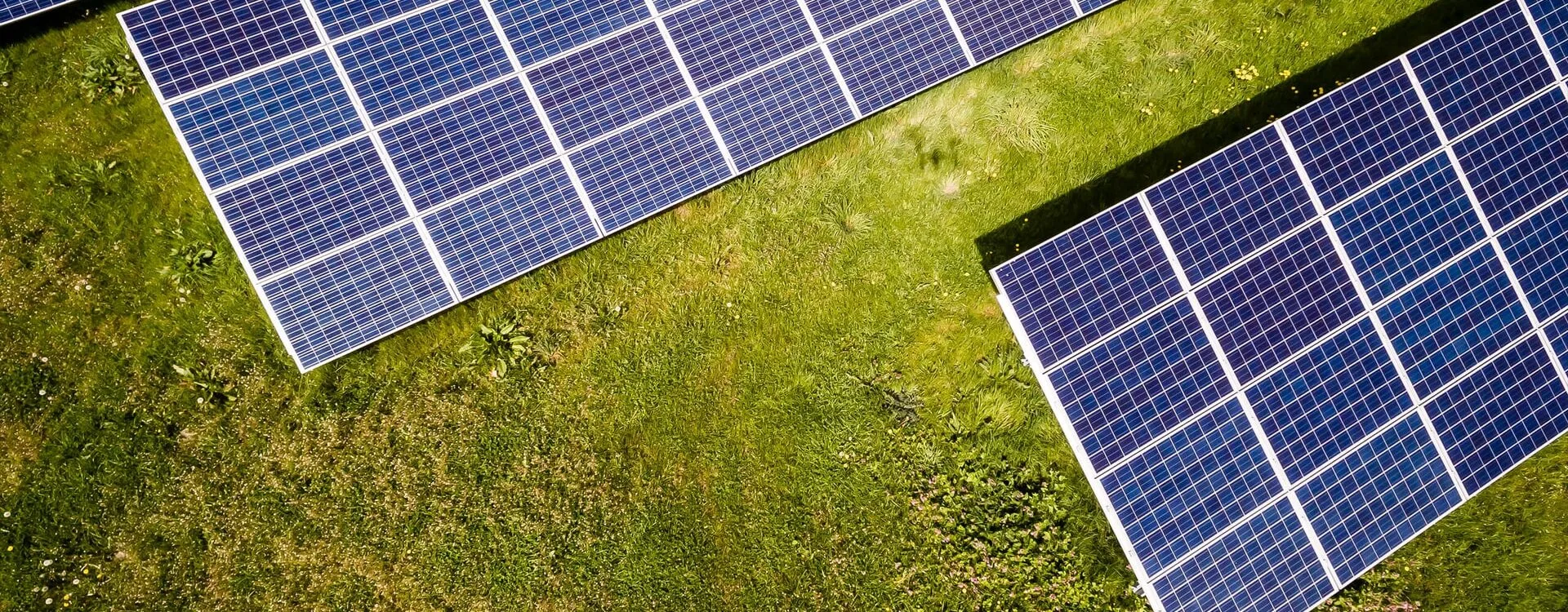
Accurate Solar Farm Surveys for Renewable Energy Projects
Pinpoint Mapping provides solar farm surveys for developers, planning consultants, civil engineers, EPC teams, landowners and renewable energy project teams that need reliable measured site information before planning, design or construction work begins.
Our solar farm surveys establish an accurate topographical base showing the levels, boundaries, access routes, drainage features, vegetation limits and other visible site features required to understand existing conditions and develop a proposed layout.
Every survey is scoped around the project. The required extent, level of detail, coordinate system, datum and final deliverables are agreed before site work begins. For larger rural sites, terrestrial survey methods can also be combined with aerial drone surveys where this is appropriate to the required coverage and outputs.
Solar farm surveys can form part of a wider topographical survey brief and can support a project from feasibility and planning through detailed design, construction and final as-built records.
What Solar Farm Surveys Can Record
The content of solar farm surveys is defined by the design brief and intended use. A typical survey records the physical site features, levels and constraints required by planning and engineering teams.
Terrain and Levels
- Spot levels and changes in ground level
- Contours where required by the project brief
- Slopes, banks and changes of gradient
- Three-dimensional strings and breaklines
- Terrain information for layout and drainage design
Boundaries, Access and Drainage
- Field boundaries, fences, gates and walls
- Existing tracks, roads and access points
- Ditches, channels and watercourses
- Visible drainage and service covers
- Hardstanding, compounds and existing structures
Vegetation and Site Constraints
- Trees and significant vegetation
- Hedgerows and vegetation limits
- Pylons, poles and visible overhead features
- Buildings and other visible structures
- Project-specific features identified in the survey brief
Solar Farm Surveys Across the Project Lifecycle
Solar farm surveys provide measured information at key stages of a development, from early feasibility and planning through detailed design, construction and final as-built verification.
Feasibility and Planning
Topographical survey data provides an accurate existing-site base for assessing levels, access, boundaries, drainage, vegetation and other physical constraints before a layout is developed or submitted for planning.
Detailed Design
Design teams can use coordinated survey information to develop panel layouts, access tracks, drainage proposals, cable routes, compounds, fencing and associated renewable energy infrastructure.
Construction and As-Built
Further solar farm surveys can support construction control, verification and as-built records so completed works can be compared with design information and accurately documented for the project team.
Planning a Solar Farm or Renewable Energy Site?
Send us the site location, proposed survey extent, intended use and required outputs. We will review the information and advise on the appropriate scope and survey method for your solar farm surveys.
Request a Survey QuotationHow We Carry Out Solar Farm Surveys
Solar farm surveys can cover anything from an individual field to a large multi-field renewable energy development. The survey method is selected around site conditions, required accuracy, vegetation, access, level of detail and intended deliverables.
Total Station Surveying
Survey-grade total stations are used to capture detailed site features, levels, breaklines and control where precise terrestrial measurement is required. This can be particularly useful around access points, structures, drainage features and areas where detailed geometry is required.
GNSS Survey Control
GNSS equipment can establish site control and relate solar farm surveys to the Ordnance Survey National Grid and Datum where required by the project brief. Reliable control also allows different survey phases to be coordinated consistently.
Aerial Surveying
For suitable open sites, drone surveying can support wider coverage, current imagery and photogrammetric outputs. Specialist aerial LiDAR can also be arranged through trusted partners where it is appropriate to the site and project requirements.
Deliverables from Solar Farm Surveys
Deliverables from solar farm surveys are agreed before site work begins so the correct information is captured and processed at the required level of detail for planning, engineering, design or construction.
Typical Deliverables
- 2D or 3D topographical survey drawings in DWG format
- PDF survey plans for planning, design and review
- Spot levels and contour information where required
- Three-dimensional strings and breaklines
- Digital terrain information where specified
- Survey control information and coordinate schedules where required
- Registered point cloud or aerial survey data where included in the brief
- As-built survey drawings and records where commissioned
Outputs can be supplied on an agreed local grid or related to the Ordnance Survey National Grid and Datum, depending on the project requirements.
Information to Send with Your Enquiry
- Site address or location
- A marked-up plan showing the required survey extent
- Approximate site area
- Intended use of the survey
- Required visible features and level information
- Coordinate system and datum if specified
- Required CAD, PDF, terrain or point-cloud outputs
- Access arrangements and known site restrictions
- Required programme or delivery date
Existing drawings, project survey specifications and site photographs can also help us define the solar farm surveys required and prepare an accurate quotation.
Related Services for Solar Farm and Renewable Energy Projects
Solar farm surveys often form part of a wider renewable energy survey requirement. Related survey disciplines can be coordinated around the needs of the site, design team and project programme.
Topographical Surveys
Detailed measured site information for planning, engineering and design, including levels, boundaries, access routes, drainage and visible site features. This is the core measured dataset behind many solar farm surveys.
Utility Surveys
Where buried services and cable routes need to be investigated, a separate utility survey can be commissioned using appropriate detection methods and available records.
Highway and Access Surveys
Where a development affects an existing road, junction or site access, highway survey information can support access design, visibility, levels and connections to the surrounding network.
Solar Farm Surveys for Planning and Detailed Design
Solar farm developments can involve large areas of land, changing terrain, drainage constraints, field boundaries, access tracks, hedgerows, existing infrastructure and other physical features that influence the developing layout.
Accurate solar farm surveys provide a reliable measured base so planning consultants, engineers and design teams can work from coordinated existing-site information rather than assumptions, incomplete records or outdated mapping.
The UK Government publishes renewable and low carbon energy planning guidance covering planning considerations for renewable energy development, including solar farms.
Solar farm surveys do not replace specialist planning, ecology, archaeology, drainage, geotechnical or grid-connection assessments. Where those disciplines require measured site information, the survey can provide a common spatial base for the wider project team.
Useful Survey Brief Information
- Proposed red-line or survey boundary
- Planning or design stage
- Required level and feature detail
- Access routes and field conditions
- Any client CAD or survey specification
- Required coordinate system and datum
- Required final outputs and programme
Why Choose Pinpoint Mapping for Solar Farm Surveys?
Our solar farm surveys are scoped around what the project team actually needs: appropriate survey control, the correct level of site detail and practical deliverables prepared for planning, engineering, design and construction use.
Clear Project Scope
The survey boundary, required features, coordinate system, level of detail and final deliverables are agreed before site work begins, reducing ambiguity and making sure the survey is appropriate to the intended project stage.
Appropriate Survey Technology
Total station, GNSS and aerial survey methods can be selected or combined according to site conditions, accuracy requirements and intended outputs rather than forcing every solar site into the same survey approach.
Practical Survey Deliverables
Survey drawings and digital data are prepared for use by planning, engineering, design and construction teams, with agreed formats and coordinate systems confirmed at quotation stage.
Solar Farm Surveys Across the South West and UK
Pinpoint Mapping provides solar farm surveys across Bristol, Bath, Gloucestershire, Somerset, Wiltshire and the wider South West, with larger renewable energy projects considered throughout the UK.
Because solar developments can cover substantial rural areas, our solar farm surveys are planned around site size, access, terrain, vegetation, required accuracy and the final information needed by the project team.
Send us the proposed survey boundary and project requirements and we can assess the most suitable survey approach for the site.
Typical Coverage
- Bristol
- Bath
- Gloucestershire
- Somerset
- Wiltshire
- Wider South West
- UK projects by scope
Solar Farm Surveys: Frequently Asked Questions
Answers to common questions about solar farm surveys, topographical survey methods, deliverables and renewable energy project requirements.
What are solar farm surveys?
Solar farm surveys are measured site surveys carried out to provide accurate existing-site information for proposed or operational solar developments. Depending on the brief, they can record levels, contours, boundaries, access routes, drainage features, vegetation, structures and other visible site features needed for planning, design or construction.
Why does a solar farm need a topographical survey?
A topographical survey gives the design team a coordinated record of the existing land and visible site constraints. This information can support feasibility, planning, panel and infrastructure layouts, access design, drainage work and later construction stages.
Can you survey large multi-field solar farm sites?
Yes. Solar farm surveys for large open sites may use a combination of GNSS, total station and suitable aerial survey methods, depending on the required accuracy, vegetation, access conditions and final deliverables.
Can drone surveying be used for solar farm surveys?
Yes, where the site, airspace, weather and required outputs make aerial surveying appropriate. Drone photogrammetry can support wider site coverage and current imagery, while terrestrial measurements may still be required for survey control, obscured details or features needing more precise ground measurement.
Do solar farm surveys include underground utilities?
Standard solar farm surveys can record visible service covers and above-ground utility features where included in the brief. They do not confirm buried service routes or depths. Where underground utilities need to be investigated, a separate utility survey should be requested.
What files can you provide?
Typical outputs include DWG and PDF topographical survey drawings. Depending on the project brief, solar farm surveys can also include 3D survey data, contours, terrain information, coordinate schedules, registered point cloud data, aerial mapping outputs and as-built information.
What information do you need to quote for solar farm surveys?
Please provide the site location, a marked-up survey boundary, approximate site area, intended use, required features and levels, preferred deliverables, coordinate system if specified, access information and required programme. Existing plans or a project survey specification are also useful.
Do you provide solar farm surveys outside the South West?
Yes. Pinpoint Mapping provides solar farm surveys across the South West and can consider renewable energy survey projects elsewhere in the UK where the site scope and programme justify the required travel.
Discuss Your Solar Farm Survey Requirements
Send us the site address, proposed survey boundary, intended use and required deliverables. We will review the information and advise on the appropriate scope, control and survey method for your solar farm surveys.
A marked-up survey extent, existing plans, project specifications, site photographs, access information and required programme can help us prepare an accurate quotation.