

About Pinpoint Mapping: Land and Measured Building Surveyors
Pinpoint Mapping is an independent survey company with a business history dating back to 2011. For clients looking for a survey company near Bristol, we provide topographical surveys, measured building surveys and 3D laser scanning surveys for projects across the built and natural environment.
Our land and building survey work supports architects, planning consultants, property developers, engineers, contractors, estates and homeowners throughout Bristol, Bath, Gloucestershire, Somerset, Wiltshire, South Wales and the wider South West.
We establish the required survey coverage, level of detail, intended use and final deliverables before site work begins, then provide measured drawings or digital survey data prepared for practical use by the receiving project team.
Pinpoint Mapping at a Glance
- Independent survey company with a business history dating back to 2011
- Based near Bristol
- Land and measured building surveys
- 3D laser scanning and digital survey data
- Owner-led project coordination
- Established specialist support where required
Survey coverage, required detail and deliverables are established before site work begins.
Why Choose an Independent Survey Company?
When clients ask about Pinpoint Mapping, the main differences are direct project oversight, clearly defined survey scopes, appropriate survey technology and measured information prepared for practical use.
Independent & Responsive
Direct communication and practical project coordination provide a consistent point of contact from the initial enquiry through to delivery.
Modern Survey Technology
Survey methods and equipment are selected according to the site conditions, required accuracy, level of detail and intended outputs.
Professional Outputs
Survey information is checked and supplied in the agreed drawing or digital formats for practical use by the receiving project team.
Regional Coverage
Regular project coverage throughout Bristol, Bath, Gloucestershire, Somerset, Wiltshire, South Wales and the wider South West.
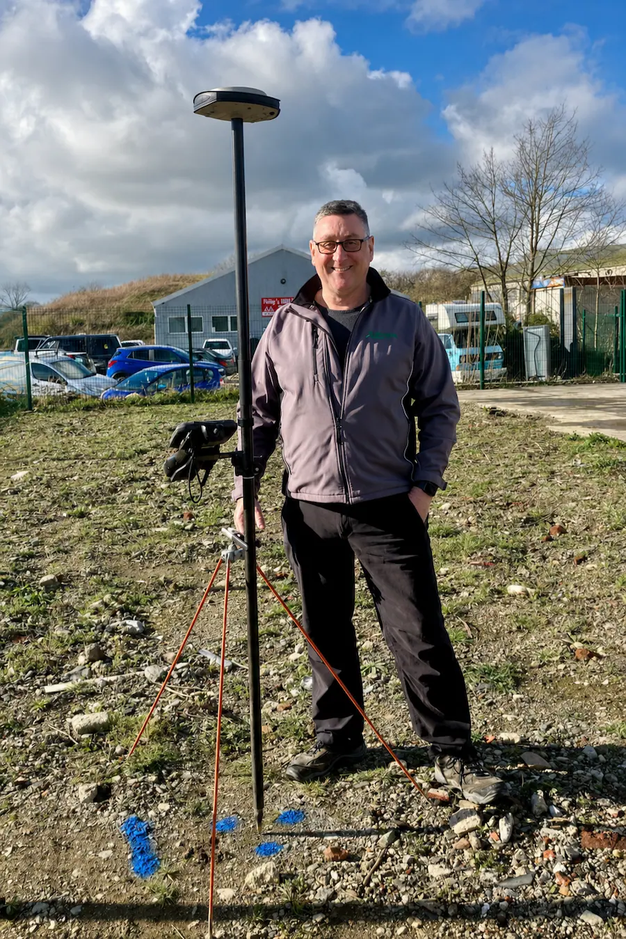
Directly Managed by Neil Moloney
Pinpoint Mapping is led by Managing Director Neil Moloney, who oversees enquiries, establishes the project requirements and coordinates delivery of the agreed survey information.
Neil holds a degree in GIS and Remote Sensing, providing a strong geospatial background for land, building and digital survey work. Pinpoint Mapping also owns and operates a Trimble X9 for survey-grade 3D laser scanning and point-cloud capture.
Before work begins, clients can speak directly with Neil about the site or building, required coverage, level of detail, intended use and final deliverables. This allows the survey method and quotation to be based on the actual project requirements.
Where additional specialist knowledge or production capacity is required, Pinpoint Mapping works with established land surveying, CAD and Revit professionals. Pinpoint Mapping remains responsible for project coordination and client communication.
This approach combines direct personal service with access to the appropriate skills for larger, more detailed or specialist projects.
You can send the project details for review before requesting a formal survey quotation.
Who Pinpoint Mapping Works With
Measured site and building information supports projects ranging from individual property alterations to professional design, development and construction work.
Architects & Designers
Existing-condition survey information for feasibility, planning, design development, alteration and refurbishment projects.
Developers & Contractors
Survey data supporting feasibility, coordination, construction planning, redevelopment and as-built records.
Estates & Property Professionals
Measured information for property management, heritage sites, estates, refurbishment and existing-building records.
Homeowners & Private Clients
Clearly scoped surveys supporting extensions, alterations and residential projects. Clients preparing an application can also consult the official planning application guidance.
Our Core Survey Services
Our land and measured building surveyors provide the measured information needed before planning, design, refurbishment or construction work begins. As a survey company near Bristol, we regularly support projects across Bristol, Bath and the wider South West.
Additional capabilities include highway surveys, farm and estate surveys, aerial drone surveys, utility surveys, 3D point cloud data and Scan to BIM.
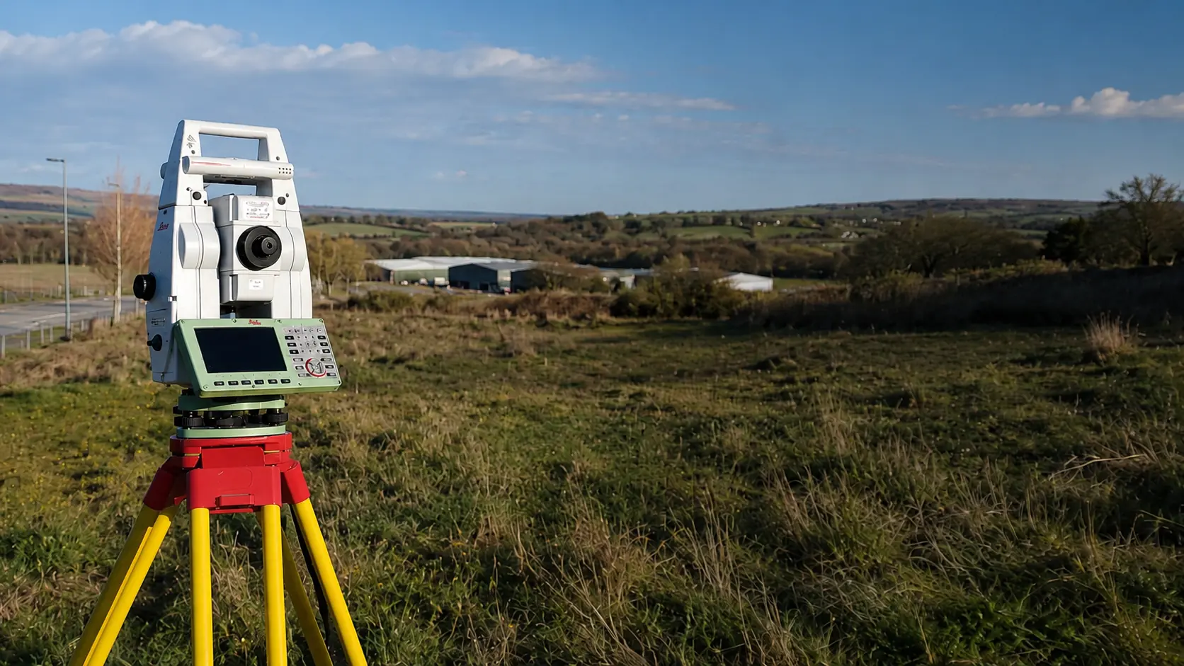
Topographical Surveys
Accurate surveys of site levels, features, boundaries and visible surface information for planning, design and construction.
Measured Building Surveys
Floor plans, roof plans, elevations, sections and related existing-building information prepared to the agreed scope.

3D Laser Scanning
High-density three-dimensional capture supporting registered point clouds, measured drawings and models.
From Initial Enquiry to Survey Delivery
This four-stage process explains more about how the requirements are established, the appropriate survey method is selected and the completed information is prepared for practical use.
01
Review the Requirements
We review the property or site, required survey coverage, intended use, available information and requested outputs.
02
Agree the Scope
The survey method, deliverables, access requirements, timescale and fee are clearly established before site attendance.
03
Capture & Process
The agreed survey information is captured and processed using equipment and workflows suited to the project requirements.
04
Check & Deliver
The completed drawings or digital data are checked and supplied in the formats and delivery arrangements agreed for the project.
If part of the requested scope is unclear, we raise it before the survey takes place rather than making assumptions that could affect the finished deliverables.
About Pinpoint Mapping FAQs
Answers to common questions about Pinpoint Mapping, our survey services, project management, regional coverage and survey deliverables.
What does Pinpoint Mapping do?
Pinpoint Mapping is an independent survey company. As a survey company near Bristol, our land and measured building surveyors provide services including topographical surveys, measured building surveys, 3D laser scanning, highway surveys, utility surveys, aerial drone surveys, 3D point cloud data and Scan to BIM, depending on the project requirements.
Where is Pinpoint Mapping based and what areas do you cover?
Pinpoint Mapping is based near Bristol and regularly works across Bristol, Bath, South Gloucestershire, Gloucestershire, Somerset, Wiltshire, South Wales and the wider South West. Projects farther afield can also be considered depending on the survey scope and programme. See our locations for more information.
Who manages Pinpoint Mapping survey projects?
Projects are directly overseen by Managing Director Neil Moloney, from the initial enquiry and scope review through to coordination of the agreed survey deliverables. Where specialist CAD, Revit or additional survey capacity is required, established professionals can support the project while Pinpoint Mapping remains responsible for coordination and client communication.
What information do you need to prepare a survey quotation?
Please provide the site or property address, the area or building to be surveyed, the required survey information and deliverables, any available plans or photographs, access details and the preferred survey or delivery dates. A marked-up plan showing the required survey extent is particularly useful for land-survey projects.
What survey deliverables can Pinpoint Mapping provide?
Depending on the agreed project brief, deliverables can include topographical survey drawings, measured floor plans, elevations, sections, roof plans, DWG and PDF drawings, registered 3D point cloud data and BIM-ready model outputs. File formats, coordinate requirements and required level of detail should be agreed before work begins.
Learn More About Pinpoint Mapping
Our independent survey company supports private clients and professional project teams with clearly scoped surveys, direct communication and measured information prepared for its intended use.
Read feedback from clients who have commissioned land surveys, measured building surveys, 3D laser scanning and related survey services.
Read Client TestimonialsDiscuss Your Survey Requirements
Send us the property or site address, approximate size, required survey coverage and the drawings or digital outputs you need.
Existing plans, photographs, access information and preferred survey or delivery dates can also help us understand the project and prepare an accurate quotation.