
Practical GIS Mapping for Survey, Land and Property Information
Pinpoint Mapping provides GIS Mapping Services for land, property, planning and development projects across Bristol, Bath, Gloucestershire, Somerset, Wiltshire, South Wales and the wider South West.
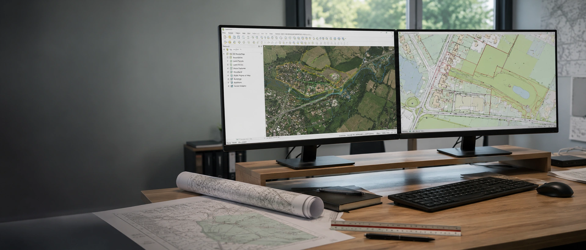
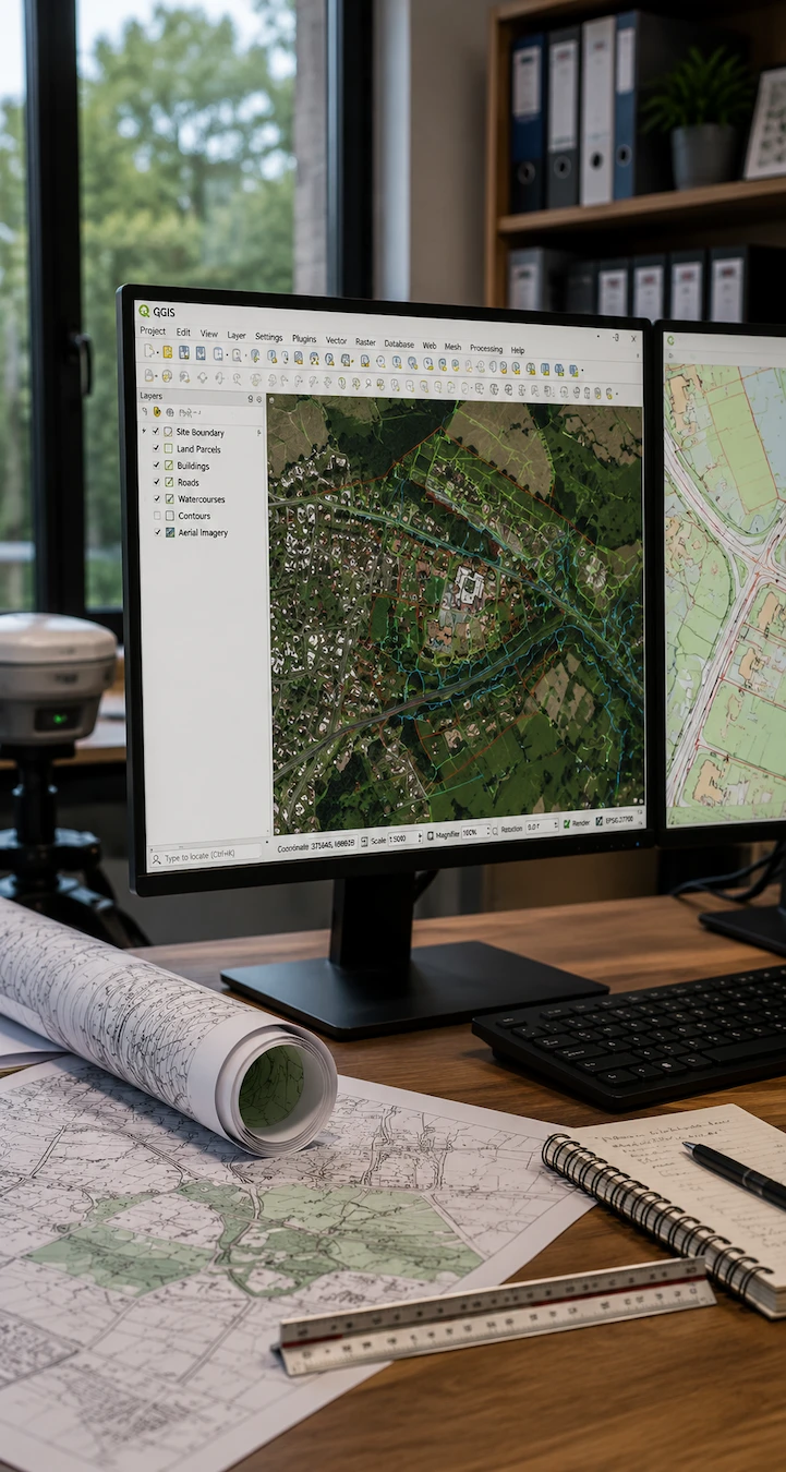
Geographic Information Systems allow survey information, mapping, aerial imagery, property plans and other spatial datasets to be organised within a common geographic framework. Suitable information can therefore be viewed together as coordinated layers rather than as separate drawings, maps and files.
Our GIS Mapping Services focus on practical project requirements, including Digital Mapping Services, GIS Data Conversion and Georeferencing Services. We can also digitise existing drawings and prepare geographic data for architects, planning consultants, developers, landowners, estates and other project professionals.
Where new measured information is required, GIS can also be combined with our topographical surveys, aerial drone surveys and other geospatial survey services.
GIS Mapping at a Glance
- Digital Mapping Services
- Georeferencing Services
- GIS Data Conversion
- Map and plan digitisation
- Coordinate reference system checks
- CAD and GIS data preparation
- Georeferenced imagery
- GIS-ready vector information
- Basic spatial analysis
The workflow depends on the source information, its accuracy, coordinate system and the required output.
Digital Mapping Services
Within our GIS Mapping Services, Digital Mapping Services provide a practical way of bringing different sources of geographic information together into clear, structured mapping for land, property and development projects.
Digital Mapping Services for Spatial Information
Our Digital Mapping Services can combine suitable information from surveys, property plans, aerial imagery, CAD drawings, Ordnance Survey mapping and other geographic datasets.
Datasets can be organised as separate layers so roads, buildings, land parcels, survey features and other project information can be viewed in their correct geographic relationship.
This can support feasibility, property management, planning and development work where a wider geographic overview is needed alongside detailed survey information.
Finished mapping can be prepared for digital use or presented as clear maps for reports and project documentation.
Map and Plan Digitisation
Suitable plans, drawings or mapping can be converted into digital geographic features such as land parcels, site extents, buildings, routes and zones.
Attributes can also be associated with features where useful, allowing the information to be organised, filtered or queried.
The accuracy of digitised information remains dependent on the quality and positional reliability of the original source.
Need GIS Mapping Support for Your Project?
Send us the maps, drawings, survey information or geographic data you already hold and explain the finished information you require. We can review the source material and advise on an appropriate workflow and quotation.
Request a GIS MAPPING QuotationConnecting Survey Data with GIS Mapping
Our GIS Mapping Services are particularly useful when detailed measured information needs to be viewed alongside wider geographic data.
A topographical survey can provide accurate measured information for the site while GIS provides a framework for surrounding mapping, property information and other spatial datasets.
Suitable information from aerial drone surveys can also form part of the workflow, with georeferenced imagery providing current visual context alongside boundaries and vector mapping.
This approach is useful where information has been collected using several methods or supplied by different organisations.
Typical Information Sources
- Topographical survey data
- CAD drawings
- Property plans
- Ordnance Survey mapping
- Aerial imagery
- GPS or GNSS coordinates
- Planning or environmental datasets
- Client-supplied geographic information
Each source should be considered according to its purpose, age, scale and accuracy before datasets are combined.
GIS Data Conversion and CAD to GIS Workflows
GIS Data Conversion is often required when geographic, survey and CAD information needs to move between different software environments or be prepared in a more suitable spatial-data format.
Preparing Geographic Data for Different Systems
GIS Data Conversion can include converting suitable vector or raster information, restructuring layers, preparing attributes and transforming data between coordinate reference systems.
Common outputs can include GeoPackage, Shapefile, GeoJSON, KML or KMZ, georeferenced raster information, coordinate tables and CAD-compatible information where appropriate.
The preferred output should ideally be agreed before processing begins so the finished data is structured for its intended use.
CAD and GIS Data Preparation
Suitable CAD information can often be prepared for GIS use, particularly where drawings contain geographically referenced survey or mapping information.
CAD structure, units, layers and coordinate systems should first be reviewed because not every drawing has been created within a recognised geographic coordinate system.
GIS information can also be prepared for CAD where relevant features are required alongside survey or design drawings.
For more information about drawing formats, see our guide to CAD survey drawings.
Georeferencing Services and Coordinate Systems
Our Georeferencing Services allow suitable historic plans, scanned maps, drawings and aerial imagery to be positioned within an appropriate geographic coordinate system where reliable reference information is available.
Georeferencing Existing Plans and Mapping
A scanned plan, historic map or old aerial image does not automatically contain usable geographic coordinates.
Georeferencing Services can use identifiable reference points to position suitable source information relative to known geographic features or coordinates.
The achievable accuracy remains dependent on the age, scale, quality and distortion of the source. Georeferencing does not create survey accuracy where it did not exist in the original information.
Coordinate Reference Systems
Different datasets may use different coordinate reference systems or contain no reliable geographic reference at all.
For UK land and property projects, information is commonly encountered in the Ordnance Survey National Grid, while GPS data, web mapping and third-party information may use other systems.
Suitable data can be transformed between coordinate systems where required, but this does not improve the underlying accuracy of the original dataset.
Further information on geographic data and mapping in Great Britain is available from Ordnance Survey.
GIS Mapping Services for Property, Estates and Land
GIS Mapping Services can be particularly useful where a project involves several types of land or property information.
Landowners and estates may hold historic plans, property records, survey drawings and aerial imagery produced at different times. GIS provides a way of organising suitable information geographically so it can be viewed consistently.
Developers and planning teams may also need to compare measured surveys with site boundaries, surrounding land or planning information during feasibility and design work.
Where precise current physical information is required, a measured survey may still be necessary alongside the GIS work.
Mapping Boundaries and Property Information
GIS can display land parcels, title information and site extents, but displaying a documentary boundary is not the same as determining its exact legal or surveyed position.
- A mapped line is not automatically a surveyed boundary.
- Historic plans may contain positional limitations.
- Third-party datasets may have different accuracies.
- Measured survey data describes physical features captured on site.
The purpose and provenance of each source should therefore be understood before it is relied upon.
GIS Outputs and Basic Spatial Analysis
GIS Mapping Services can produce reusable geographic datasets and clear map outputs according to how the information will be used by the client or project team.
GIS Data Outputs
Suitable outputs may include GeoPackage, Shapefile, GeoJSON, KML or KMZ, georeferenced raster imagery, coordinate tables, PDF mapping and CAD-compatible information where appropriate.
Choosing the required format at the start helps ensure layers, attributes and coordinate information are prepared for the receiving software.
Basic Spatial Analysis
GIS can also be used to measure areas and distances, create buffers, select features by location, compare overlapping datasets and extract information for a defined site.
Where specialist environmental, planning or engineering interpretation is required, the appropriate professional consultant should determine the significance of the results.
Why Pinpoint Mapping for GIS Mapping Services?
Our GIS Mapping Services connect geographic information with practical experience of surveying, CAD, aerial data and measured site information.
GIS and Remote Sensing Background
Pinpoint Mapping is led by a BSc (Hons) GIS & Remote Sensing graduate, combining an academic grounding in geographic information and spatial data with practical surveying experience.
Survey-Led GIS
GIS can sit alongside topographical surveying, aerial capture and CAD where a project requires both measured and wider geographic information.
Project-Based Support
We focus on defined GIS tasks and practical project outputs rather than unnecessary enterprise systems or consultancy layers.
Clear Data Limitations
Source accuracy, coordinate systems and the distinction between mapping and measured survey information are considered throughout the workflow.
A Typical GIS Mapping Workflow
The exact GIS Mapping Services process varies between projects, but the basic workflow is straightforward.
1. Review
Review the source files, coordinate information and required result.
2. Prepare
Organise, convert, georeference or digitise suitable information.
3. Check
Check positioning, coordinate systems and relevant dataset relationships.
4. Deliver
Supply the finished mapping or geographic data in the agreed format.
GIS Mapping Services FAQs
Answers to common questions about GIS Mapping Services, Georeferencing Services, GIS Data Conversion and Digital Mapping Services.
What is GIS?
GIS stands for Geographic Information System. It is a method of storing, displaying, managing and analysing information that has a geographic location. Mapping, imagery, survey data and project information can be organised as layers within a common geographic framework.
What can GIS Mapping Services be used for?
GIS Mapping Services can organise land, property, survey, planning and other location-based information. They are particularly useful where several datasets need to be viewed together, converted, georeferenced, digitised or prepared for another software system.
What are Digital Mapping Services?
Digital Mapping Services involve preparing geographic information in a structured digital form, including combining spatial datasets, organising features, preparing attributes and producing reusable GIS data or finished map layouts.
Can you georeference an old plan?
Potentially, yes. Suitability depends on the plan’s scale, age, quality, distortion and available reference information. Georeferencing Services can position the document geographically but cannot improve the accuracy of the original source.
What does GIS Data Conversion involve?
GIS Data Conversion can include converting suitable spatial information between GIS formats, reorganising layers or attributes and transforming appropriate data between coordinate reference systems.
Can you convert CAD drawings into GIS data?
Suitable CAD information can often be prepared for GIS use. The drawing structure, layers, units and coordinate system should first be reviewed because not every CAD drawing is geographically referenced.
Can GIS replace a topographical survey?
No. GIS can organise and analyse geographic information but does not replace an accurate site survey where current measured levels, buildings, boundaries or physical features are required. The services can be combined where a project needs both measurement and wider geographic context.
What information do you need for a GIS quotation?
Please send the geographic area involved, the mapping, plans or data you already hold, what the finished information needs to show and the required output format if known. Sample files help us review the source information before confirming the workflow and quotation.
Discuss Your GIS Mapping Requirements
Send us the plans, maps, survey drawings or geographic datasets you already hold and explain what information you need to produce, convert, georeference or combine.
We can review the source material and advise whether GIS Mapping Services, additional survey work or a combination of the two is appropriate.