
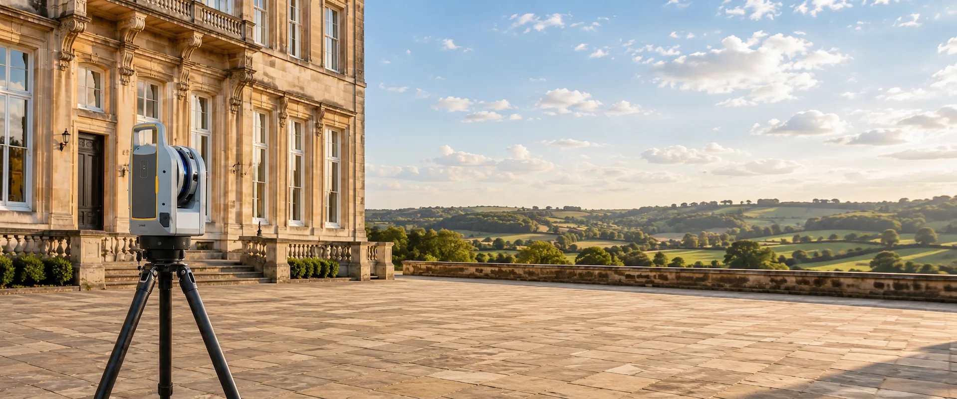
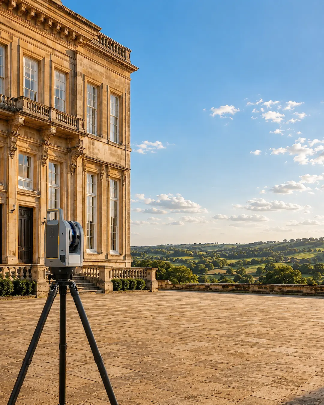
Accurate Measured Building Survey Drawings
Pinpoint Mapping provides accurate measured building surveys in Bristol, Bath and across the South West, producing detailed floor plans, roof plans, elevations, sections and CAD drawings for architects, planning consultants, property developers and homeowners.
Our measured building surveys provide reliable information about the existing building to support planning applications, architectural design, refurbishment, renovation and development projects. A floor plan survey can also form part of the agreed drawing package where accurate internal layouts are required.
Depending on the project, Pinpoint Mapping can provide floor plans, roof plans, external elevations, internal elevations, building sections, reflected ceiling plans, loft plans, CAD drawings and 3D laser scan data. These measured survey drawings help reduce uncertainty during planning, design, refurbishment and construction.
For a more detailed explanation of survey outputs, cost factors and when a survey is needed, read our complete guide to measured building surveys.
What’s Included in Our Measured Building Surveys?
Every building project is different, so the survey scope, required level of detail and final drawing package are agreed to suit the intended use.
Survey Drawings and Information
A measured building survey can include:
- Measured floor plans and roof plans
- External and internal elevations
- Building sections and street scenes
- Reflected ceiling plans and loft plans
- CAD drawings and PDF survey drawings
- 3D laser scan and point cloud data where required
Where needed, drawings can be prepared to an agreed scale, level of detail and output format.
When Survey Drawings Are Needed
Measured survey drawings are commonly used for planning applications, building alterations, refurbishments, extensions, lease plans, changes of use and wider property-development work.
They allow architects, designers, planning consultants and property professionals to work from reliable information about the existing building rather than old plans, estate-agent layouts or approximate site measurements.
For wider site information, Pinpoint Mapping also provides topographical surveys, 3D laser scanning surveys, 3D point cloud data and aerial drone surveys.
General planning information is available through the Planning Portal, with local guidance available from Bristol City Council and Bath & North East Somerset Council.
Who Our Measured Building Surveys Are For
Accurate existing-building information supports confident planning, design, development and project coordination.

Architects
Architects and architectural technicians needing accurate measured survey drawings for planning, design, development and refurbishment projects.

Planning Consultants
Planning consultants needing clear measured building survey information to support applications, drawings and project coordination.

Property Developers & Owners
Property developers, private owners and landlords who need reliable building survey information to support design, planning and construction work.
Example Measured Building Survey Drawings
Examples from measured building surveys completed for residential, commercial and heritage projects. The exact drawing package is tailored to the agreed project brief.
Read what our customers have to say about working with Pinpoint Mapping.
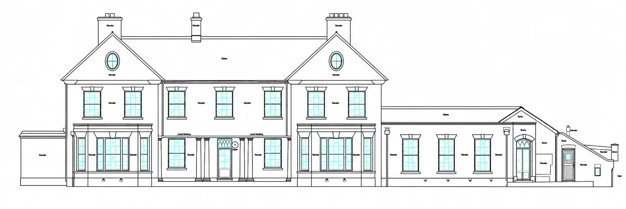
Click or tap the drawing to view a larger version.
Example Elevation Drawing
Example elevation drawing from a measured building survey, showing external walls, windows, doors, roof lines and architectural detail.
Click or tap the drawing to view a larger version.
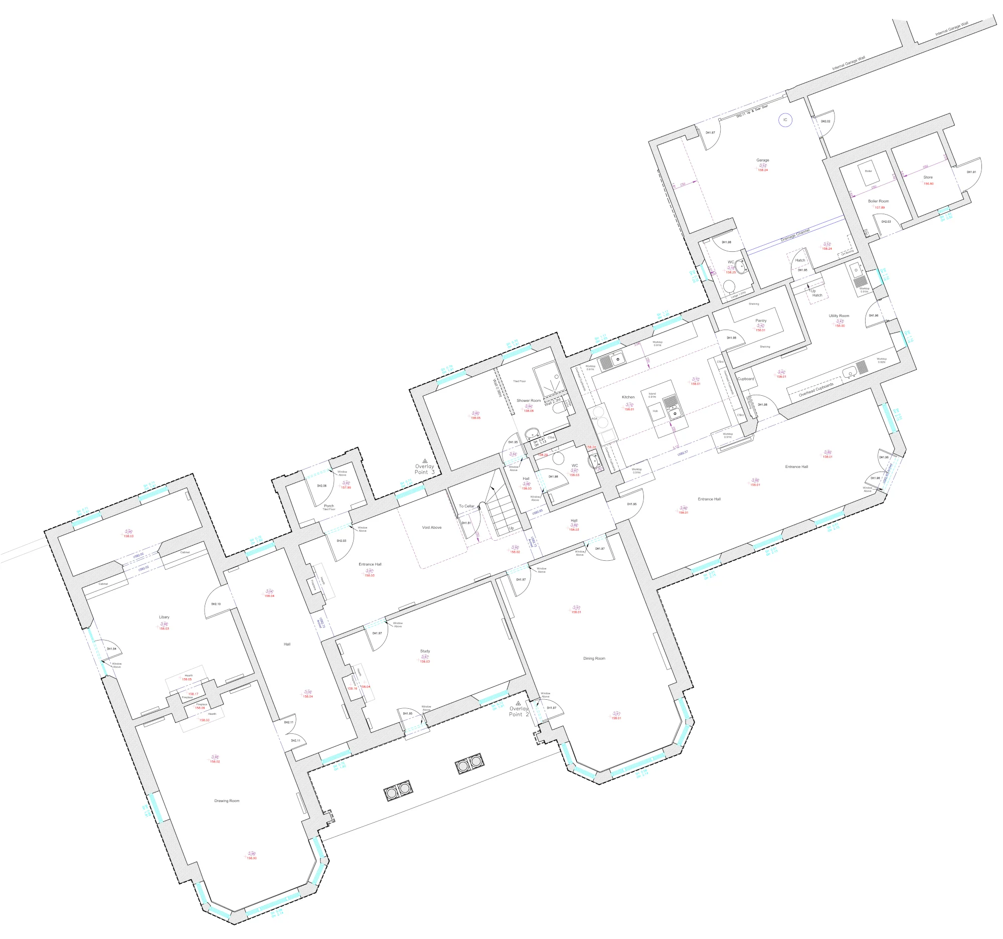
Example Floor Plan Drawing
Example floor plan drawing showing room layout, walls, openings, stairs and key survey information. Floor plans can be supplied as DWG CAD drawings and PDFs for design, planning and property projects.
Need an Accurate Measured Building Survey for Your Project?
Send us the site address, approximate building size and required survey drawings, and we’ll advise on the appropriate survey scope, deliverables and next steps.
Request a Survey QuotationHow We Carry Out Measured Building Surveys
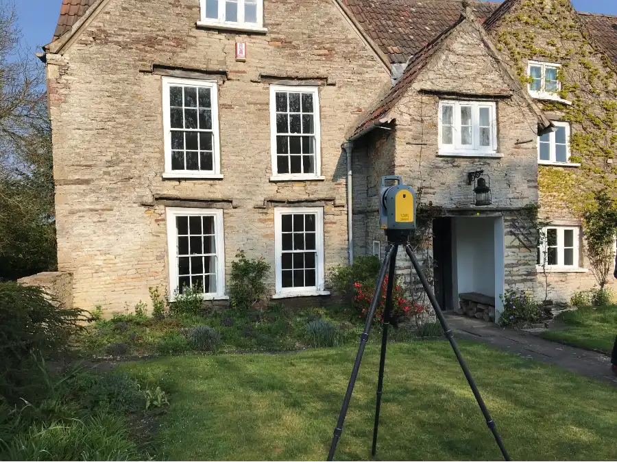
We use an appropriate combination of site measurement, survey control, 3D laser scanning and CAD drawing production to capture the building and prepare the agreed outputs.
Site Survey & Data Capture
We attend the site to record the existing building layout, structure and visible features required by the survey brief. This can include rooms, external elevations, roof lines, openings, stairs and other relevant building details.
Accurate Survey Data
Where appropriate, we use 3D laser scanning to capture accurate measured information quickly and consistently. The scan data supports detailed CAD drawing production and reduces the risk of important site information being missed.
Drawing Production & Quality Checks
The survey data is processed, checked and drawn up into clear CAD survey drawings. We review the drawings against the agreed project scope before issue. Depending on the project, outputs can include floor plans, elevations, sections, roof plans and reflected ceiling plans in PDF and DWG formats.
Why Pinpoint Mapping? We agree the scope, suitable survey technology and required deliverables before site work begins, giving you a clear quotation and a drawing package prepared for its intended use.
Measured Building Survey Deliverables
Deliverables from measured building surveys are tailored to the project brief, required level of detail and the way the survey information will be used.
Measured building survey information can be delivered as accurate CAD floor plans, elevations and sections. Read our guide to CAD survey drawings for more information about drawing formats, survey methods and typical applications.
CAD Survey Drawings & Survey Data
Survey information can be issued in practical formats for design, planning and project coordination, including:
- CAD survey drawings can be supplied in DWG and PDF formats for design, planning and project coordination.
- 3D point cloud data where required, including E57, LAS and other recognised industry-standard formats
- Drawings prepared to the agreed project brief and level of detail
- Survey information related to a local site grid or OS National Grid where required
Survey Drawings
Depending on the project, the final measured building survey drawing package can include:
- Floor plans and roof plans
- External and internal elevations
- Building sections
- Reflected ceiling plans
- Loft plans (subject to safe access)
- Street-scene elevations where required
The required outputs are confirmed before the survey so the quotation, site scope and final deliverables are clear from the start.
Buildings We Survey
Pinpoint Mapping provides measured building surveys for residential, commercial, historic and public buildings across Bristol, Bath and the South West.
Residential Properties
Measured building surveys for houses, flats, extensions, refurbishments and property alterations where accurate existing-building information is required.
Commercial Buildings
Survey drawings for offices, retail units, hospitality premises and commercial properties being altered, refurbished, extended or repurposed.
Historic & Listed Buildings
Measured building survey drawings for historic, listed and heritage buildings where careful recording of the existing architectural detail is important. Guidance on caring for historic places is available from Historic England.
Schools, Offices & Public Buildings
Measured surveys for larger buildings where clear floor plans, elevations, sections and CAD drawings are needed for design and project coordination.
Measured Building Survey FAQs
Answers to common questions about measured building surveys, survey drawings, CAD deliverables and project requirements.
What is a measured building survey?
A measured building survey is an accurate record of an existing building. It captures the dimensions, layout and relevant architectural features needed to produce floor plans, elevations, sections, roof plans or other agreed survey drawings for planning, design, refurbishment and development work.
What is included in a measured building survey?
A measured building survey can include floor plans, elevations, sections, roof plans, ceiling plans, loft plans and CAD drawings depending on the project brief. The exact survey scope is confirmed before the work is carried out.
How much does a measured building survey cost?
The cost of a measured building survey depends on the size and complexity of the building, the required drawing package, the level of detail, access arrangements, survey method and project timescale. To prepare an accurate quotation, we usually need the site address, approximate building size, required outputs and any existing plans or photographs.
How long does a measured building survey take?
The time required for a measured building survey depends on the size and complexity of the building, access arrangements, the level of detail required and the final deliverables. Smaller surveys may be completed during one site visit, while larger or more detailed buildings can require additional site work and processing time.
Do you provide DWG CAD drawings?
Yes. Measured building survey drawings can be supplied as DWG CAD files and PDF drawings for architects, designers, planning consultants, developers and property professionals.
Can you provide 3D laser scan data?
Yes. Where required, we can supply raw or cleaned 3D laser scan point cloud information in a range of industry-standard file formats alongside measured building survey drawings. This can be useful for detailed design, refurbishment and coordination work.
Do you survey residential and commercial buildings?
Yes. Pinpoint Mapping carries out measured building surveys for houses, flats, commercial buildings, historic buildings, offices, schools and larger public or private buildings.
What information do you need to provide a quote?
To provide a quote, we usually need the site address, approximate building size if available, required survey outputs, any existing drawings or plans, access information and your timescale for the project.
Do you cover Bristol, Bath and the South West?
Yes. Pinpoint Mapping provides measured building surveys across Bristol, Bath and the South West, with wider coverage available depending on the project.
Discuss Your Measured Building Survey Requirements
Send us the site address, approximate building size and the floor plans, elevations, sections or other survey outputs you require. We will confirm the right scope for your measured building surveys enquiry.
We will review the information and confirm the recommended survey scope, deliverables and quotation for your project.