
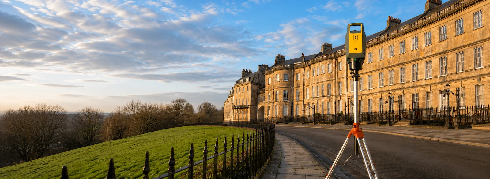
Accurate 3D Laser Scanning for Existing Buildings and Sites
Pinpoint Mapping provides professional 3D laser scanning services in Bristol, Bath and across the South West for buildings, structures and external sites. Survey-grade laser scanning captures visible surfaces from a series of coordinated positions, creating a detailed three-dimensional record of the existing conditions.
Our laser scanning surveys support architects, survey companies, engineers, contractors, property owners, heritage consultants and design teams who need reliable existing-condition data. The registered scan data can support architectural design, refurbishment, construction planning, heritage recording, as-built documentation and measured survey drawings.
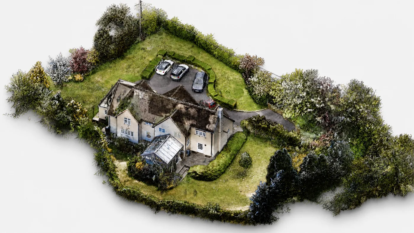
Depending on the agreed brief, the data can be supplied as a registered 3D point cloud survey, used to produce 2D CAD survey drawings or developed into three-dimensional models. Where floor plans, elevations and sections are required, the same captured information can support our measured building surveys.
External levels, boundaries and site features can also be coordinated with a topographical survey. For data-only requirements, see our 3D point cloud data service.
Survey at a Glance
- Survey-grade Trimble X9 site capture
- Internal, external or combined coverage
- Registered three-dimensional point clouds
- DWG and PDF survey drawings where required
- Revit and BIM models to an agreed scope
- Survey accuracy and control matched to the brief
The required coverage, level of detail, survey control and final deliverables are confirmed before site attendance.
What We Deliver from a 3D Laser Scanning Survey
The final survey outputs are selected to suit the receiving software, intended project use and level of detail agreed within the brief.
Registered Point Clouds
Registered three-dimensional survey data can be supplied for viewing, measurement and use in compatible survey, design and modelling software.
See the separate 3D point cloud data service for available formats and data-only project requirements.
2D Survey Drawings
Floor plans, roof plans, elevations, sections and other measured drawings can be produced from the registered scan data where these form part of the commissioned work.
Finished drawings can be supplied in DWG and PDF formats to the agreed survey scope.
Revit and BIM Models
Three-dimensional building models can be developed by interpreting the registered laser scan data where Revit or BIM deliverables are required.
For scan-to-model workflows, see our Scan to BIM service.
Choosing the Correct Survey Output
A point cloud, a set of measured drawings and a BIM model are different deliverables. The correct option depends on the technical capability of the project team and how the measured information will be used.
Clients with suitable point cloud software may only need the registered survey data. Architects and property professionals often require finished 2D drawings, while coordinated design projects may require a separately specified three-dimensional model.
We confirm the intended workflow before the survey so the site capture and processing are planned around the final output.
Need Accurate 3D Laser Scanning for Your Project?
Send us the site address, required survey areas and intended outputs, and we’ll advise on the appropriate laser scanning survey scope, deliverables and next steps.
Request a Survey QuotationWhen Is a 3D Laser Scanning Survey the Right Method?
3D laser scanning is particularly useful when a project needs detailed existing-condition information across complex, irregular or extensive areas.
Project Situations Suited to 3D Laser Scanning
- Refurbishment, extension and alteration projects
- Complex or irregular buildings and structures
- Heritage properties with detailed architectural features
- Commercial buildings, warehouses and industrial premises
- As-built records before or after construction work
- Plant areas and geometry that are difficult to measure manually
- Projects requiring coordinated internal and external information
- Sites where comprehensive capture can reduce avoidable return visits
Laser scanning records visible surfaces only. Furniture, machinery, stored materials, vegetation, vehicles and inaccessible areas can obscure parts of a building or site, so access and survey coverage are reviewed before attendance.
The survey method is selected to suit the site conditions, required accuracy, level of detail and intended outputs. Laser scanning can be used on its own or combined with other measured survey methods, including measured building surveys and topographical surveys.
Our 3D Laser Scanning Survey Process
The site work, data registration and final outputs are planned around the agreed project requirements.
For a more detailed explanation of the technology and workflow, read our guide to how a 3D laser scanning survey works, including scanner setup, point cloud processing and the production of CAD survey drawings.
01
Review Requirements
We review the site, required coverage, access arrangements, intended use, survey control and final deliverables.
02
Survey & Data Capture
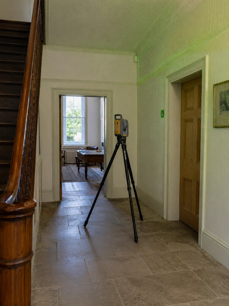
The agreed buildings, structures or site areas are captured from a series of coordinated Trimble X9 scan positions.
03
Register & Check Data
The individual scans are registered into a coordinated point cloud and checked against the agreed survey requirements.
04
Prepare Outputs
The agreed point cloud, survey drawings or three-dimensional model is prepared, checked and supplied.
Why Choose Pinpoint Mapping for 3D Laser Scanning?
Pinpoint Mapping is an owner-led measured survey practice based near Bristol. We plan each 3D laser scanning survey around the information your project needs and supply the outputs agreed within the quotation.
In-House Trimble X9
Pinpoint Mapping owns and operates its survey-grade Trimble X9 3D laser scanner, giving us direct control over site capture and the survey workflow.
Survey-Led Approach
The scanning strategy is selected to suit the site conditions, required accuracy, level of detail and intended use of the survey information.
Flexible Deliverables
Registered point clouds, 2D CAD drawings and Revit or BIM models can be supplied according to the agreed project brief and required workflow.
Local Project Support
We support laser scanning projects across Bristol, Bath and the wider South West, with clear communication from the initial enquiry through to delivery.
Projects Supported by 3D Laser Scanning
Accurate three-dimensional survey data provides a reliable basis for planning, design, coordination and construction. Registered point cloud data captured through 3D laser scanning surveys can be used to produce precise CAD floor plans, elevations and sections, helping project teams work from an accurate record of existing conditions. Read our guide to CAD survey drawings for more information about how measured survey data is developed into professional CAD deliverables.
Architects & Designers
Existing-condition information for design development, planning applications, building alteration and refurbishment projects.
Owners & Developers
Reliable building and site information for feasibility work, property alteration, redevelopment and as-built records.
Engineers & Contractors
Coordinated survey data for construction planning, technical design, verification and project coordination.
Complex Properties
Detailed capture for heritage, commercial and industrial buildings, structures, plant areas and intricate features.
Subcontract 3D Laser Scanning for Survey Companies
Reliable field scanning support for survey companies needing extra capacity, regional site attendance or temporary cover.
Scanning Subcontractor Support
Pinpoint Mapping can provide subcontract 3D laser scanning for survey companies that need additional site capacity, temporary scanner cover or support on larger and time-sensitive projects.
We can attend site as your scanning subcontractor, working under your instructions and to the agreed survey brief. This can include internal laser scanning, external laser scanning or combined building and site capture, depending on the project requirements.
Subcontract laser scanning can be useful when your own team is fully booked, when your scanner is being serviced or repaired, or when a project needs additional field capacity without taking on permanent equipment or staff costs.
- Overflow 3D laser scanning capacity for busy survey practices
- Regional site attendance across Bristol, Bath and the South West
- Temporary cover during scanner servicing or breakdown
- Support for large, complex or time-sensitive survey projects
- Internal and external laser scanning site capture
- Site capture only, if required
- Agreed registration, survey control and point cloud handover workflows
Confidential Subcontract Support
We understand that subcontract survey work requires discretion, clear instructions and respect for the commissioning survey company’s client relationship.
Where required, we can work under agreed confidentiality and non-circumvention terms. We do not directly market to your client or attempt to bypass the commissioning survey company.
This service is intended for survey companies that need reliable 3D laser scanning field support while retaining control of the client, specification and final delivery route.
For data-only projects, see our 3D point cloud data service.
3D Laser Scanning FAQs
Answers to common questions about survey accuracy, point clouds, CAD drawings, BIM models, site access and project requirements.
What is a 3D laser scanning survey?
A 3D laser scanning survey captures visible surfaces across a building, site or structure from a series of coordinated scanner positions. The individual scans are registered together to create a detailed three-dimensional point cloud that can support measurement, drawings, models and as-built records.
What can 3D laser scanning be used for?
3D laser scanning can be used for measured building surveys, topographical survey support, refurbishment projects, heritage recording, construction verification, as-built records, industrial sites, complex structures and projects requiring accurate existing-condition data.
How much does 3D laser scanning cost?
The cost of 3D laser scanning depends on the size and complexity of the building or site, required coverage, access conditions, survey control, scan density, processing requirements and final deliverables. A marked-up plan, site photographs and a clear list of required outputs help us prepare an accurate quotation.
How accurate is 3D laser scanning?
The achievable accuracy depends on the project specification, scanning distances, site conditions, registration method, survey control and intended use. We agree the required survey scope and workflow rather than applying one general accuracy figure to every project.
What is a 3D point cloud?
A point cloud is a three-dimensional dataset containing millions of measured points that represent the visible shape and position of surveyed surfaces. Depending on the agreed workflow, data can be exported in formats such as E57, LAS, PTX, RCP and Trimble formats for compatible software.
Can you provide 2D CAD drawings from the scan data?
Yes. Registered laser scan data can be used to produce floor plans, roof plans, elevations, sections and other measured drawings where these are included within the commissioned work. Drawings can normally be supplied in DWG and PDF formats.
Can 3D laser scanning be used for measured building surveys?
Yes. 3D laser scanning can support measured building surveys where accurate floor plans, elevations, sections, roof plans or detailed existing-building information are required. The scan data provides a measured record that can be used for CAD drawing production and project coordination.
Can you provide Revit or BIM models?
Yes. Laser scan data can support Revit and BIM model production. The model scope, level of detail, required content, software version and final outputs should be agreed before the survey and production work begin.
When should I use laser scanning instead of traditional survey methods?
Laser scanning is particularly useful for complex or irregular buildings, heritage properties, industrial premises, detailed as-built records and projects requiring coordinated internal and external information. The final method is selected according to the site, required accuracy, level of detail and intended outputs.
How long does a 3D laser scanning survey take?
The site time depends on the building or site size, complexity, access, required coverage, scan settings and working restrictions. Processing and production time also depends on whether the final deliverable is a point cloud, a set of drawings or a three-dimensional model. We confirm the expected programme within the quotation.
Do you provide 3D laser scanning in Bristol and Bath?
Yes. Pinpoint Mapping provides 3D laser scanning across Bristol, Bath and the wider South West. Projects farther afield can also be considered depending on the survey scope and required programme.
What information do you need to provide a quotation?
Please send the site address, approximate building or site size, required survey areas, internal or external coverage, intended use, required outputs, access arrangements and timescale. Existing plans, photographs, marked-up drawings and project specifications are particularly helpful.
Discuss Your 3D Laser Scanning Survey Requirements
Our 3D laser scanning surveys in Bristol can support point cloud surveys, scan-to-CAD surveys and scan-to-BIM surveys for architects, engineers, contractors and property professionals.
Send us the site address, approximate building or site size, areas requiring scanning and the point cloud, drawing or model outputs you require.
We will review the information and confirm the recommended survey scope, deliverables and quotation for your project.