
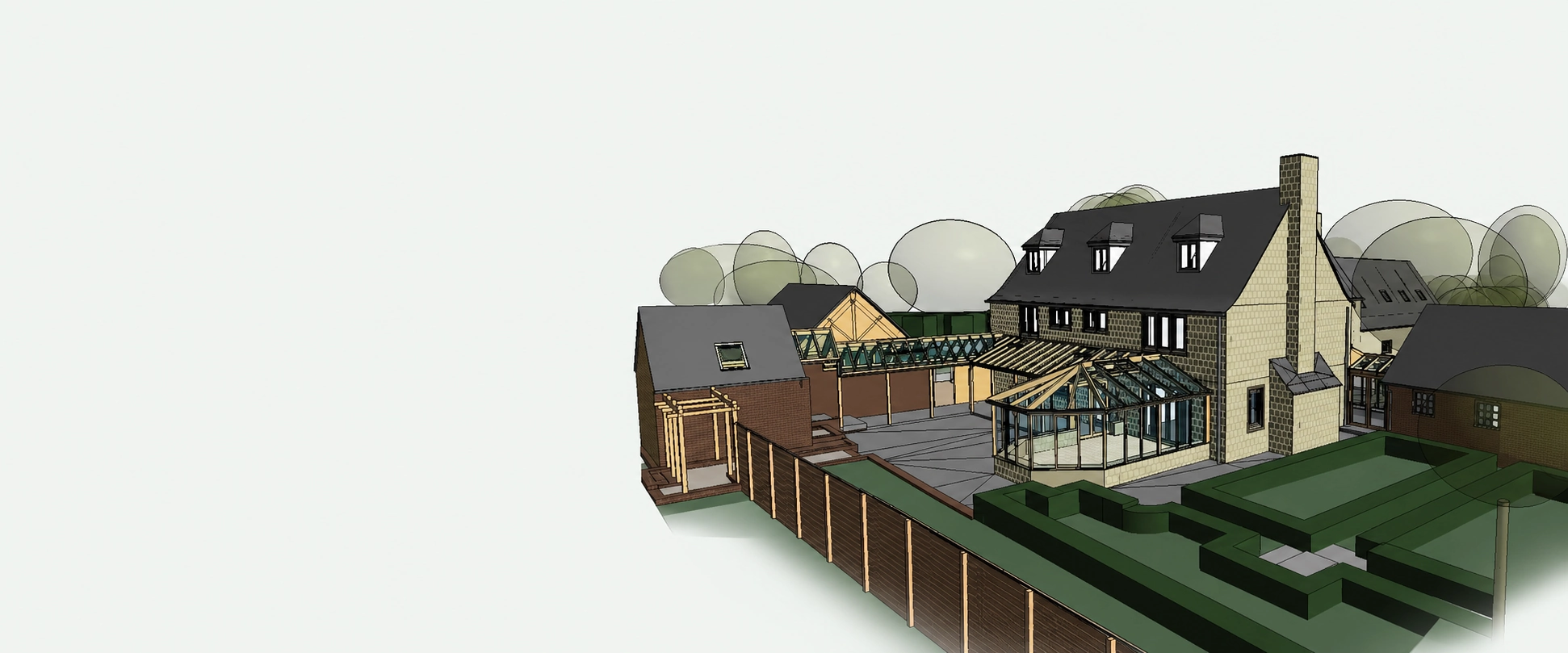
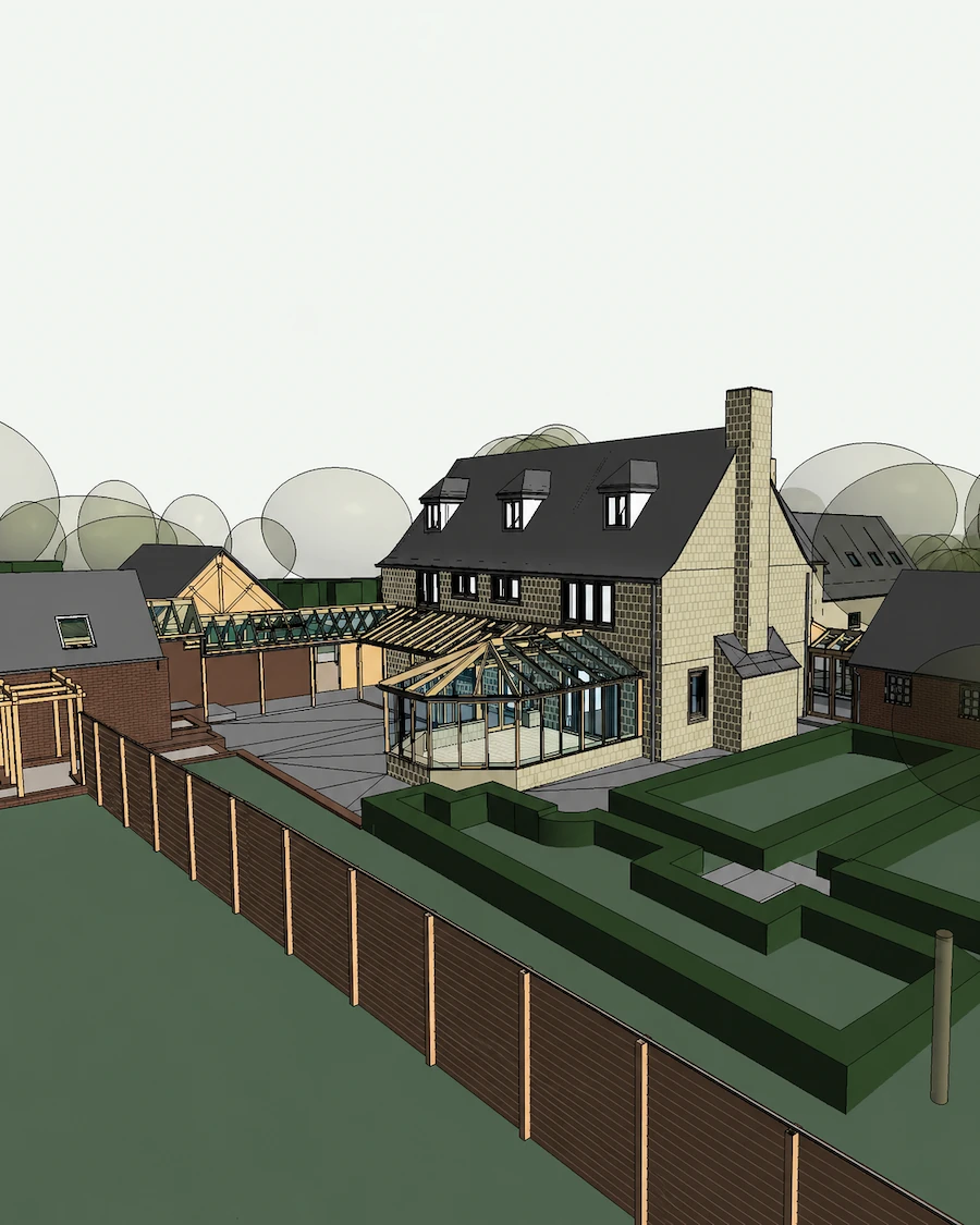
Accurate As-Built Models from Measured Survey Data
Pinpoint Mapping provides survey-led Scan to BIM services in Bristol, Bath and across the South West for architects, engineers, developers, contractors, survey companies and property professionals. Each BIM survey uses survey-grade 3D laser scanning to capture the existing building and produce an accurate BIM-ready Revit model from registered survey data.
Our BIM surveys provide a practical digital base for refurbishment, alteration, extension, coordination and asset-record projects. Instead of relying on historic drawings or unverified dimensions, the project team receives a model developed from current measured information.
Scan to BIM is not a one-size-fits-all deliverable. The required model disciplines, building elements, geometric level of detail (LOD), information requirements, inclusions and exclusions, survey accuracy, software version and final Revit or IFC outputs are agreed before production begins.
If your team only needs the registered survey dataset, see our 3D point cloud data service. Where finished floor plans, elevations and sections are required in 2D CAD instead, see our measured building surveys. Wider site information can also be coordinated with our topographical surveys.
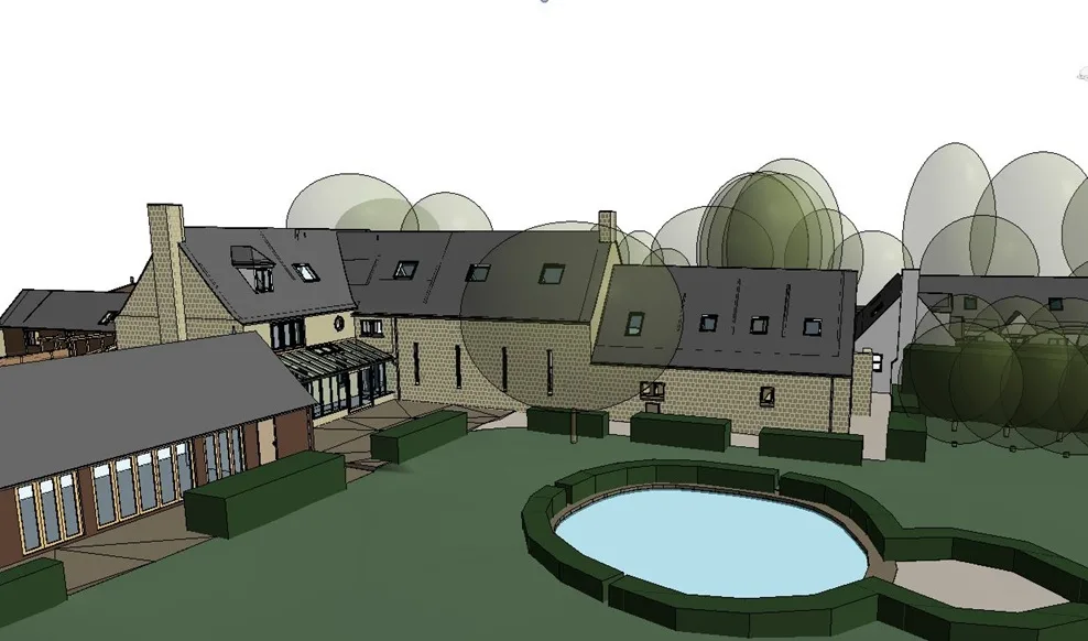
Scan to BIM at a Glance
A coordinated workflow from measured site capture to an agreed as-built Revit or BIM-ready model.
Survey-Grade Capture
Internal and external existing conditions captured using our Trimble X9 laser scanner.
Registered Point Cloud
Individual scan positions registered into a coordinated three-dimensional survey dataset.
As-Built Revit Model
A BIM-ready Revit model created from the measured point cloud to the agreed scope.
Defined Deliverables
Model content, inclusions, exclusions, Revit version and required outputs confirmed before production.
What We Deliver
Scan to BIM deliverables are defined around the intended project use, required model disciplines, geometric level of detail (LOD), agreed content and final file requirements.
As-Built Revit Models
An accurate BIM-ready Revit model is produced from the registered point cloud to represent the agreed visible building elements.
The required Autodesk Revit version, model structure, coordinates and project requirements are confirmed before production begins.
Agreed Model Content
Architectural, structural and MEP models, together with topographical site models, can be produced from coordinated measured survey data to the agreed scope.
The required elements, level of detail (LOD), model information, inclusions and exclusions are clearly defined for each Scan to BIM project.
Project-Specific Outputs
Native Revit model files, IFC files and other agreed exports can be prepared for design, coordination, refurbishment or building-record workflows.
Coordinates, model breakdown and Uniclass classification can be included where required and agreed before production begins.
Need a Scan to BIM Model for Your Project?
Send us the site address, approximate building size, required survey coverage and model outputs, and we’ll advise on the appropriate Scan to BIM scope, deliverables and next steps.
Request a Survey QuotationWhat Can Be Included in a Scan to BIM Model?
Model content is selected according to the project purpose, available survey information and the geometric level of detail (LOD) and information needed by the receiving team.
Typical Building and Site Model Content
- External and internal architectural elements
- Floors, ceilings, roofs, doors and windows
- Stairs, landings and fixed architectural features
- Visible columns, beams and structural elements
- Visible pipes, ducts, cable trays, plant and other MEP elements where specified
- Rooms, levels and Uniclass classification where specified
- Topographical site models with agreed terrain, buildings, site features and visible infrastructure
Project Requirements to Agree
- Required survey and model extents
- Model purpose and required disciplines
- Required geometric level of detail (LOD) and information
- Element inclusions and exclusions
- Coordinates, levels and project origin
- Revit version, IFC and other required outputs
- Required terrain, building, site-feature and visible-infrastructure content for site models
Important: Model content, accuracy, disciplines, inclusions and exclusions are agreed for the intended use. Structural steelwork uses best-fit section sizes rather than verified manufacturer-standard sections. MEP models show visible external geometry and service routes but do not generally identify the services. BIM information management is not included.
Projects Supported by Scan to BIM
Accurate as-built Revit models help project teams understand existing buildings before design, alteration or construction decisions are made.
Refurbishment
& Alteration
Existing-condition Revit models support refurbishment design, internal reconfiguration, extensions and planned upgrades by providing an accurate measured record of the building.
Heritage
Buildings
Survey-led Revit models capture complex geometry, irregular construction and important architectural features to support conservation, alteration and heritage-planning decisions.
Commercial
Property
As-built Revit models provide reliable existing-building information for offices, schools, retail premises, warehouses and other occupied or operational properties.
Construction
Records
Measured Revit models support construction coordination, verification and structured records of visible existing or completed work before further design or alteration.
Point Cloud, CAD Drawings or BIM Model?
Each deliverable is created from measured survey data but supports a different project workflow.
3D Point Cloud Data
A registered three-dimensional dataset containing millions of measured points representing visible building surfaces.
Choose this when your team has suitable software and will create its own drawings or models.
Measured CAD Drawings
Floor plans, elevations, sections and roof plans produced from the registered point-cloud survey data.
Choose this when the project needs finished DWG and PDF drawings rather than a three-dimensional model.
Scan to BIM Model
A BIM-ready Revit model created by interpreting agreed building elements from the registered point cloud.
Choose this when the project team needs a Revit or IFC model for design, refurbishment or building records.
Our Scan to BIM Process
The survey and modelling workflow is planned around the final Scan to BIM requirements from the beginning.
01
Define the Brief
We confirm the survey extent, intended model use, disciplines, inclusions, exclusions, level of detail (LOD), coordinates, Revit version and outputs.
02
Capture & Register
The agreed building areas are laser scanned and the individual positions are registered into a coordinated point cloud.
03
Build the Model
The agreed architectural, structural and MEP elements are interpreted and modelled from the measured survey data.
04
Check & Deliver
The completed model is reviewed against the agreed scope and supplied in the specified Revit, IFC or other agreed format.
Why Choose Pinpoint Mapping for Scan to BIM?
Pinpoint Mapping is an owner-led measured survey practice based near Bristol. We manage the measured survey around the Scan to BIM model your project needs, keeping the site capture and final deliverable connected.
In-House Trimble X9 Survey
Pinpoint Mapping owns and operates its survey-grade Trimble X9, giving us direct control over the site capture, registration and measured survey workflow.
Model Requirements Agreed First
The intended model use, disciplines, inclusions and exclusions are reviewed before the survey so site coverage is planned around the final deliverable.
UK-Based Modelling Support
Revit model production is supported by an experienced UK-based modelling specialist, with the workflow managed through Pinpoint Mapping.
Bristol, Bath & South West Coverage
We support Scan to BIM projects across Bristol, Bath and the wider South West, with projects farther afield considered according to scope.
What We Need to Quote for Scan to BIM
Clear site and modelling information allows us to define the survey coverage, Scan to BIM production scope, programme and fee accurately.
Site and Survey Information
- Site address and postcode
- Building type and approximate floor area
- Internal, external or combined survey coverage
- Existing plans or marked-up survey extents
- Site photographs, where available
- Access arrangements and site restrictions
- Required survey and delivery dates
Model Requirements
- Intended use of the model
- Required disciplines and model areas
- Agreed level of detail (LOD)
- Project coordinates, levels and origin
- Required Revit version and file formats
- Uniclass classification, where required
- Agreed model inclusions and exclusions
Scan to BIM FAQs
Answers to common questions about point cloud to Revit modelling, model scope, level of detail (LOD), accuracy, deliverables and quotation requirements.
What is Scan to BIM?
Scan to BIM is the process of capturing an existing building or structure using 3D laser scanning, registering the measured point cloud and using that data as the reference for an as-built building information model. The required model content and detail are agreed for the intended project use.
What is a BIM survey?
A BIM survey records an existing building or site using measured survey methods and converts the coordinated survey data into a structured digital model. Our BIM surveys commonly use registered 3D laser scan point clouds to produce accurate as-built Revit or IFC models to an agreed scope and level of detail.
What is the difference between Scan to BIM and Scan to Revit?
Scan to BIM is the wider term for producing a building information model from measured scan data. Scan to Revit usually describes the same survey-to-model workflow where Autodesk Revit is the required modelling software and native file format.
What is the difference between a point cloud and a BIM model?
A point cloud is the measured three-dimensional dataset created from the laser scan. A BIM model is a structured and interpreted model in which the required walls, floors, roofs, openings and other agreed elements are created using the point cloud as the measured reference.
How much does Scan to BIM cost?
The cost of Scan to BIM depends on the building size, survey extent, access conditions, model disciplines, required level of detail, Revit version, IFC requirements, modelling complexity, checking requirements and project timescale. Existing plans, photographs, a marked-up survey extent and a clear modelling specification help us prepare an accurate quotation.
How long does Scan to BIM take?
The programme depends on the building size, complexity, access, survey extent, required model content, level of detail and checking requirements. Smaller Scan to BIM projects may be completed more quickly, while larger buildings, complex geometry or detailed modelling requirements can need additional survey and production time.
How accurate is a Scan to BIM model?
The achievable model accuracy depends on the survey specification, site conditions, visibility, scan registration, survey control, model scope and the way the surveyed geometry is interpreted. The required accuracy and level of detail should be agreed for the intended use rather than assumed from a general figure.
What level of detail can the Revit model include?
The required level of detail (LOD) can range from a basic structural representation to a more detailed architectural, structural or MEP model. Because LOD terminology varies across the industry, the quotation defines the exact building elements, geometric detail, model information, inclusions and exclusions required for the intended use. Complex or information-rich elements may require additional production time and should be specified before quotation.
Can you model heritage or irregular buildings?
Yes. Survey-grade laser scanning is particularly useful for recording complex and irregular existing geometry. The model scope should identify which architectural features need to be represented and at what level of detail, as highly ornate elements may require separate modelling allowances.
Which model and point-cloud outputs can you provide?
The registered point cloud, native Revit model and IFC files can be provided where required. Uniclass classification can also be included within the agreed model scope. We supply fully parametric BIM-ready existing-building models but do not provide a full BIM information-management service.
Can you provide architectural, structural and MEP models?
Yes. Architectural, structural and MEP models can be produced where the required elements are visible and defined in the agreed scope. Structural steelwork is represented using best-fit section sizes rather than verified manufacturer-standard sections. MEP modelling can include visible pipes, ducts, cable trays, service routes and major plant, but it does not generally identify the services. Hidden elements are included only where reliable supporting information is supplied and their treatment is specifically agreed.
Can you provide topographical site models?
Yes. Topographical site models can be produced from coordinated survey data where required, representing agreed terrain, buildings, site features and visible infrastructure within the project area. The exact site extent, model content, level of detail and required outputs are defined in the quotation.
Do you provide Scan to BIM in Bristol and Bath?
Yes. Pinpoint Mapping provides Scan to BIM services across Bristol, Bath and the wider South West, including Gloucestershire, Somerset, Wiltshire and South Wales. Projects farther afield can also be considered depending on the survey scope and programme.
What information do you need for a Scan to BIM quotation?
Please send the site address, approximate building or site size, required survey extent, intended model use, required model type, disciplines and elements, level of detail (LOD), model information, Revit version, IFC or other outputs, access information and timescale. Existing plans, photographs, marked-up drawings and any client modelling specification are particularly helpful.
Discuss Your Scan to BIM Requirements
Send us the site address, approximate building size, required survey coverage and the Revit, IFC or BIM-ready model outputs your project team needs.
We will review the information and confirm the proposed survey scope, model inclusions and exclusions, programme and quotation.