Here at Pinpoint Mapping we provide clients across Bristol and the surrounding local areas with a range of land surveys, measured building surveys and utility mapping services. We cover the whole of the United Kingdom so if you have land or property located anywhere within the UK requiring a survey, please get in touch today and we can happily accommodate your survey requirements.
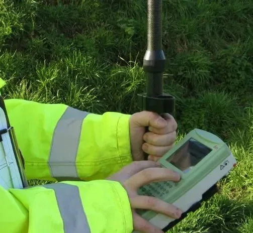
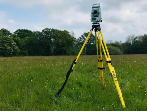
Our highly experienced team of surveyors utilise state-of-the art 3D laser scanners and survey equipment in conjunction with the latest techniques to ensure we produce highly detailed and accurate land surveys. All our surveys can be provided to customers as PDF Plansheets and AutoCAD DWG files (these can be saved to earlier AutoCAD Versions if required). We can also create a brief survey report that contains details such as traverses, station co-ordinates and accuracies. Where possible we look to tailor our survey services to meet each project’s needs and surpass a client’s requirements.
More information on each of our services can be found below or contact us today for a Free No Obligation Quote.