
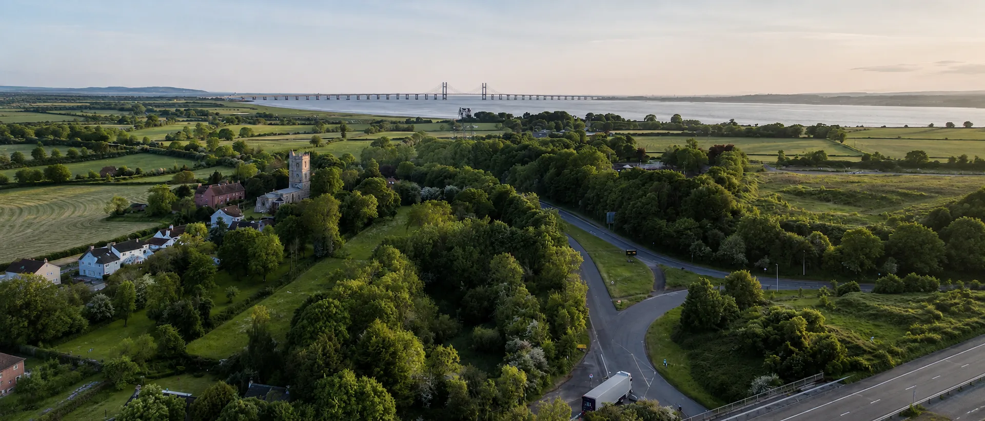
Survey Services Across Bristol, Bath & the South West
Locations covered by Pinpoint Mapping include Bristol, Bath and North East Somerset, South Gloucestershire, Gloucestershire, Somerset, Wiltshire and South Wales. We support urban, residential, heritage, highway, rural and development projects across the region.
Our services include topographical surveys, measured building surveys, 3D laser scanning, aerial drone surveys, utility surveys and Scan to BIM.
As land surveyors in the South West, Bristol, Bath and the surrounding region form our core geographic coverage, although suitable surveying projects can also be undertaken elsewhere in the UK.
Each enquiry is reviewed around the site, project stage and deliverables. This allows the survey approach, equipment, level of detail and drawing outputs to be matched to the work, whether the project involves an existing building, development site, highway, rural land or commercial property.
Locations We Cover
Our core locations extend across the South West of England and into South Wales. Each area below has its own local context, while the surveying methods and deliverables are selected around the project requirements.
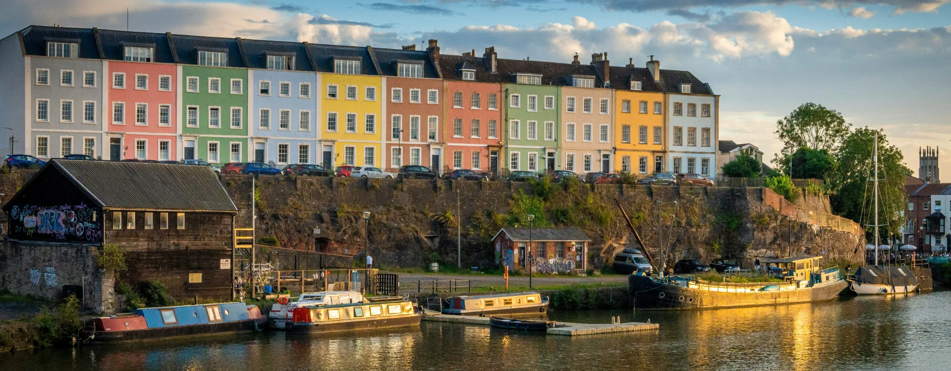
Bristol
Survey services throughout Bristol, including the city centre, Clifton, Redland, Bedminster, Avonmouth and surrounding areas. Projects include land, buildings, development sites, highways and commercial property.

Bath & North East Somerset
Survey services across Bath and North East Somerset, including Bath, Keynsham, Saltford, Radstock and Midsomer Norton, supporting heritage, residential, commercial and development projects.
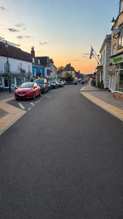
South Gloucestershire
Surveying throughout South Gloucestershire, including Filton, Bradley Stoke, Patchway, Yate, Chipping Sodbury and Thornbury, across built-up, rural and infrastructure sites.

Gloucestershire
Survey projects across Gloucestershire, including Gloucester, Cheltenham, Stroud, Cirencester and surrounding rural areas, for property, planning, land and infrastructure work.
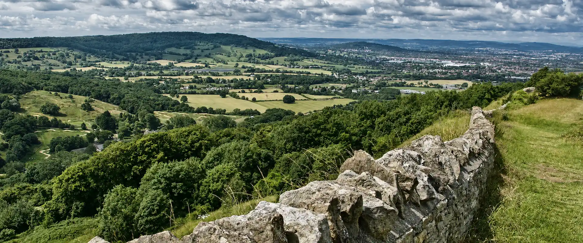
Cotswolds
Survey services across the Cotswolds for historic property, rural land, estates and development projects.

Somerset
Survey coverage across Somerset, including Taunton, Wells, Frome and surrounding towns and rural areas. North Somerset locations are also within our regional coverage.
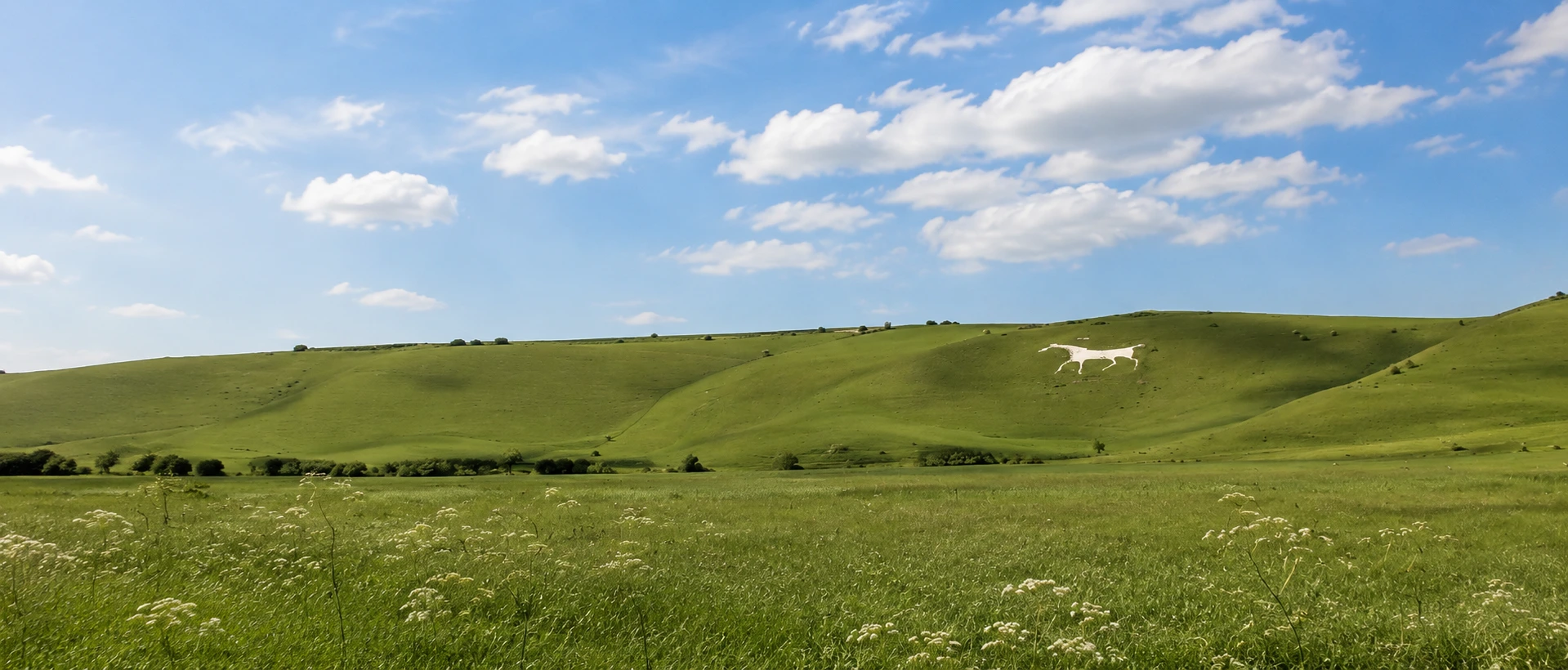
Wiltshire
Survey services across Wiltshire, including Chippenham, Trowbridge, Melksham, Swindon and surrounding areas for development, property, land and specialist measured survey projects.
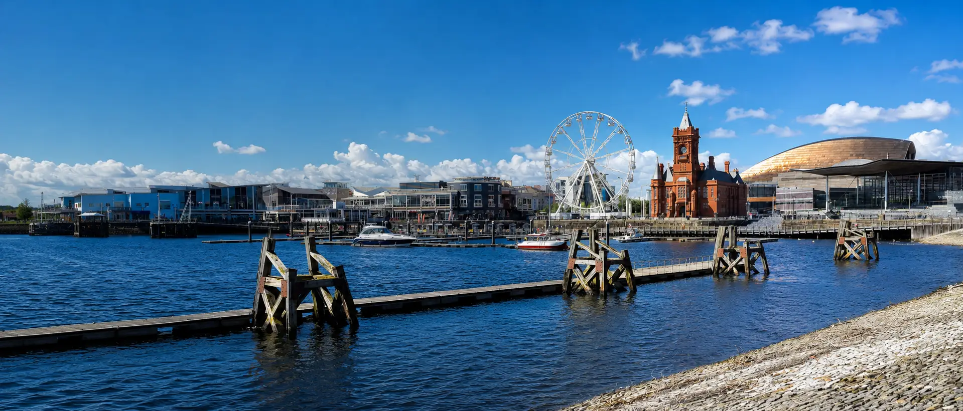
South Wales
Surveying across South Wales, including Cardiff, Newport, Chepstow, Monmouthshire and surrounding areas, with practical access from the Bristol region via the M4 and Severn corridor.
Survey Services in Bristol
Bristol is one of Pinpoint Mapping’s principal locations, with professional survey services in Bristol available across the city and the Bristol area.
Projects can include topographical surveys for planning and development, measured building surveys, floor plans, elevations, 3D laser scanning, point cloud data, aerial drone surveys and utility surveys.
Survey work can support residential development, commercial property, existing buildings, highways, industrial sites, heritage structures and land being prepared for redevelopment.
Bristol Coverage
- Bristol city centre
- Clifton and Redland
- Bedminster and south Bristol
- Avonmouth and north-west Bristol
- Filton and the northern Bristol fringe
- Wider Bristol development areas
Survey Services in Bath & North East Somerset
Pinpoint Mapping provides professional survey services in Bath and across North East Somerset, supporting projects involving historic buildings, residential property, commercial premises, development sites and rural land.
Depending on the brief, services can include measured building surveys, topographical surveys, 3D laser scanning, aerial drone surveys and utility surveys.
Measured survey information can support architects, planning consultants, developers and property professionals with existing-site and building information for design, planning, refurbishment and redevelopment.
Bath & North East Somerset Locations
- Bath
- Keynsham
- Saltford
- Radstock
- Midsomer Norton
- Surrounding Bath and North East Somerset areas
South Gloucestershire Locations
- Filton
- Bradley Stoke
- Patchway
- Yate
- Chipping Sodbury
- Thornbury
Survey Services Across South Gloucestershire
Pinpoint Mapping provides surveying services throughout South Gloucestershire for residential and commercial development sites, existing buildings, highways, rural land, estates and infrastructure.
Services across the area include topographical surveys, measured building surveys, 3D laser scanning, utility surveys and aerial drone surveys, providing accurate information for planning, design and construction.
South Gloucestershire is treated as its own geographic coverage area, separate from both Bristol and Bath and North East Somerset.
Survey Services Across Gloucestershire
Survey projects are undertaken throughout Gloucestershire, supporting residential development, commercial property, rural estates, heritage buildings, infrastructure and existing-site survey requirements.
Depending on the project, work can include topographical surveying, measured building surveys, 3D laser scanning, aerial survey data and other specialist measured survey services.
The required survey extent, level of detail, coordinate system and deliverables are agreed around the specific project rather than applying one standard scope to every site.
Gloucestershire Locations
- Gloucester
- Cheltenham
- Stroud
- Cirencester
- Surrounding Cotswold areas
- Rural Gloucestershire sites and estates
Cotswolds Locations
- Cirencester
- Stow-on-the-Wold
- Bourton-on-the-Water
- Moreton-in-Marsh
- Tetbury
- Surrounding towns, villages and rural areas
Surveying Across the Cotswolds
Pinpoint Mapping undertakes projects across the Cotswolds involving historic buildings, residential property, rural estates, farms and development sites. These locations can require measured building, topographical, 3D laser scanning or aerial survey work, depending on the property, land and intended project use.
Somerset Locations
- Taunton
- Wells
- Frome
- Other Somerset towns and rural areas
North Somerset: Weston-super-Mare, Portishead, Clevedon and surrounding areas are also within our regular coverage.
Survey Services Across Somerset
Our locations extend across Somerset, with suitable projects also undertaken in North Somerset. Survey work can support residential, commercial, rural, estate and development projects requiring accurate existing-site or building information.
Projects may require topographical surveys, measured building surveys, 3D laser scanning, aerial drone surveys, utility surveys or a combination of methods.
North Somerset locations such as Weston-super-Mare, Portishead and Clevedon are considered separately from Bristol while remaining within our regular regional coverage.
Survey Services Across Wiltshire
Pinpoint Mapping undertakes surveying projects across Wiltshire for planning, development, property, infrastructure and specialist measured survey requirements.
Services can range from topographical land surveys and measured building surveys through to 3D laser scanning, aerial drone surveys and utility surveys, depending on the site and intended project use.
For larger or more specialist projects, provide the site address, approximate survey extent and required deliverables so that travel and survey requirements can be assessed.
Wiltshire Locations
- Chippenham
- Trowbridge
- Melksham
- Swindon
- North Wiltshire
- Surrounding rural and development areas
South Wales Locations
- Cardiff
- Newport
- Chepstow
- Monmouthshire
- M4 corridor locations
- Surrounding South Wales areas
Surveyors in South Wales
For clients looking for professional surveyors in South Wales, Pinpoint Mapping undertakes projects in Cardiff, Newport, Chepstow, Monmouthshire and surrounding areas.
Projects may include topographical surveys for proposed developments, measured building surveys of existing properties, 3D laser scanning, point cloud surveys, utility surveys and aerial drone surveys.
The M4 and Severn corridor provides practical access between the Bristol region and South Wales. Projects farther west can also be considered according to the survey scope, required deliverables and programme.
Survey Services Available Across Our Locations
Our principal survey services are available across our core locations and can also be provided nationally for suitable projects. The appropriate survey method depends on the site, required accuracy, intended use and final deliverables.
Topographical Surveys
Measured site levels, boundaries and physical features for planning, design, engineering and development projects.
Measured Building Surveys
Floor plans, elevations, sections and accurate measured information for residential, commercial and heritage buildings.
3D Laser Scanning
High-density three-dimensional capture for buildings, structures, complex sites and detailed existing-condition surveys.
Aerial Drone Surveys
Aerial imagery, photogrammetry and supporting survey information for suitable land, property and development projects.
Utility Surveys
Underground utility detection using electromagnetic locating and GPR methods for site investigation, planning and development work.
Land Surveyors in the South West for Property, Planning & Development Projects
Our locations support a wide range of property, construction, planning, land and infrastructure requirements across Bristol, Bath, the South West and South Wales.
Architects & Planning Consultants
Accurate existing-site and building information for feasibility studies, planning applications, design development, refurbishment and detailed project work.
Developers & Property Professionals
Survey information for acquisitions, redevelopment, construction, property alterations, commercial premises and development sites.
Landowners & Infrastructure Projects
Topographical and specialist surveys for rural land, estates, highways, renewable energy, utilities and infrastructure projects.
Survey Projects Across the UK
While our principal coverage includes Bristol, Bath and North East Somerset, South Gloucestershire, Gloucestershire, Somerset, Wiltshire and South Wales, our geographic coverage is not restricted to the South West.
Suitable projects can be undertaken throughout the UK where the project scope justifies travel. This can be particularly relevant for larger topographical surveys, measured building surveys, 3D laser scanning projects, point cloud data collection, Scan to BIM and specialist measured survey requirements.
Where required, survey information can be related to recognised national coordinate systems such as the Ordnance Survey National Grid.
For work outside our core locations, provide the site address or postcode together with the required survey deliverables so that travel, equipment, site access and programme can be assessed before quotation.
Information to Send
- Site address or postcode
- Approximate survey extent
- Required survey service
- Required drawings or digital outputs
- Access information
- Required programme or deadline
Need a Survey Outside Our Core Locations?
Send us the project address or postcode, required survey area and intended use, and we can assess the location, travel requirements, survey scope and required deliverables.
Request a Survey QuotationLocations FAQs
Answers to common questions about the locations covered by Pinpoint Mapping and projects outside our core South West operating area.
What areas does Pinpoint Mapping cover?
Pinpoint Mapping’s core locations include Bristol, Bath and North East Somerset, South Gloucestershire, Gloucestershire, Somerset, Wiltshire and South Wales. Suitable surveying projects are also undertaken elsewhere in the UK.
Do you provide land surveys throughout Bristol?
Yes. Survey services are available throughout Bristol and the wider Bristol area. Our dedicated Bristol page provides more detail about local survey services and coverage.
Do you carry out surveys in Bath and North East Somerset?
Yes. We undertake suitable surveying projects throughout Bath and North East Somerset, including Bath, Keynsham, Saltford, Radstock, Midsomer Norton and surrounding areas.
Do you undertake surveys in South Gloucestershire?
Yes. Survey services are available throughout South Gloucestershire, including Filton, Bradley Stoke, Patchway, Yate, Chipping Sodbury, Thornbury and surrounding areas.
Do you undertake surveys in Gloucestershire, Somerset and Wiltshire?
Yes. Projects are considered throughout Gloucestershire, Somerset, North Somerset and Wiltshire. The survey scope, site location, access and required deliverables are reviewed as part of the quotation.
Do you provide surveying services in South Wales?
Yes. Surveying projects are undertaken across South Wales, including Cardiff, Newport, Chepstow, Monmouthshire and surrounding locations.
Can Pinpoint Mapping undertake surveys elsewhere in the UK?
Yes. Suitable projects can be undertaken throughout the UK. For projects outside our core locations, send the site address or postcode together with the required survey coverage, deliverables and programme so that the work can be assessed.
Discuss Your Survey Requirements
Planning a project in Bristol, Bath, the South West, South Wales or elsewhere in the UK? Send us the site location, required survey coverage and the drawings or digital outputs you need.
Existing plans, photographs, access information and required timescales can also help us understand the project and prepare an accurate quotation.