


Accurate Measured Surveys of Land and Buildings for Planning, Design and Development
Our land surveyors in Bristol and Bath provide accurate topographical surveys, measured building surveys and 3D laser scanning for architects, developers, property professionals and homeowners across the South West.
Clear survey information, CAD drawings and 3D point-cloud data support planning, design, refurbishment and development projects.
Our Core Survey Services
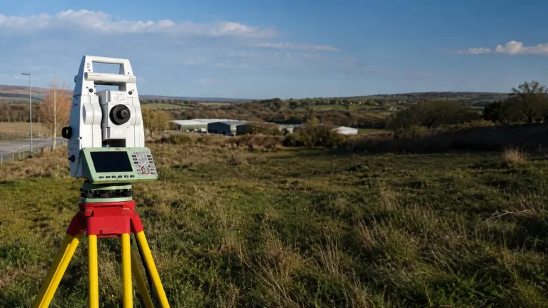
Topographical Surveys
Topographical surveys provide measured site data showing boundaries, levels and physical features for planning, design and development projects.
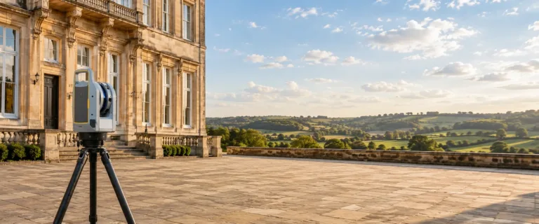
Measured Building Surveys
Measured building surveys provide accurate floor plans, elevations and sections for refurbishment, planning and property development.
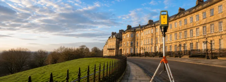
3D Laser Scanning Surveys
3D laser scanning provides rapid and accurate point-cloud capture for buildings, complex sites, detailed structures and difficult-to-measure areas.
Wider Surveying, Mapping and Geospatial Services
Alongside topographical surveys, measured building surveys and 3D laser scanning, Pinpoint Mapping provides highway and utility surveys, mobile and GIS mapping, aerial drone surveying and structured geospatial data.
These services can be commissioned individually or combined where a project requires more than one survey method or deliverable.
Who We Support
Survey information for a wide range of projects.
Pinpoint Mapping works with professional, commercial and private clients who need reliable survey data, mapping, imagery and measured information for land, buildings, infrastructure and development projects.
Explore the sectors we support
Architects & Designers
Planning, design and refurbishment projects.

Planning Consultants
Measured site, mapping and project information.

Property & Development
Development, construction and property projects.
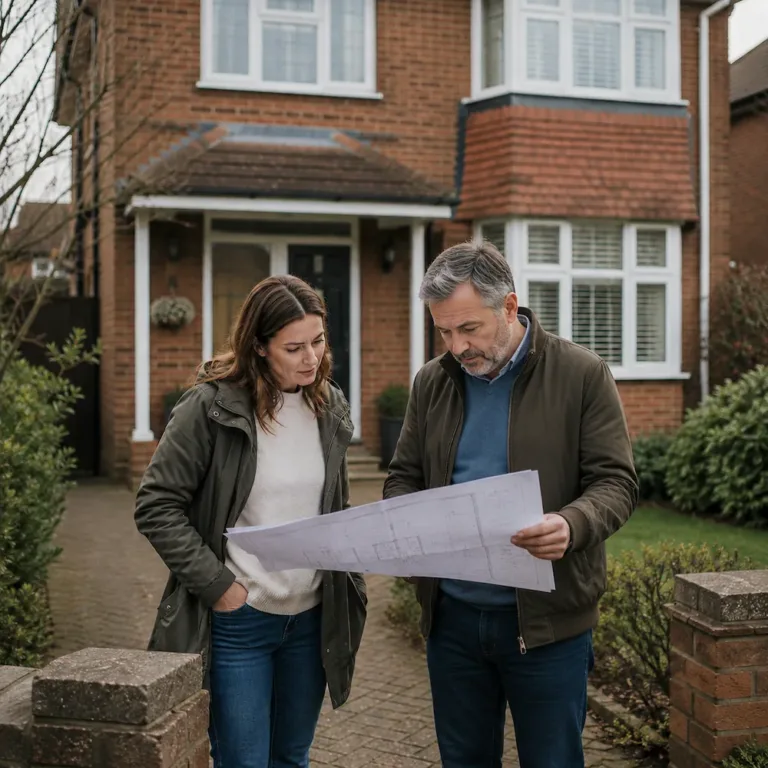
Homeowners
Extensions, alterations and property projects.
Client Testimonials
Trusted by clients across professional and private projects.
Feedback from clients who have commissioned Pinpoint Mapping for topographical surveys, measured building surveys, 3D laser scanning and other measured survey services.
“
They’ve always been very pro-active and responsive to tight programmes as well as being highly competitive. Would recommend them wholeheartedly.
D.C Architect · Bristol
“
They have been quick to respond and proactive in doing the necessary liaison work to gain access. They are very much becoming our ‘go-to’ people.
C.A Architect · Bristol
“
I cannot thank the survey team enough, especially as the work was carried out professionally, accurately and most importantly in budget.
Mr J. Anderson Private Client · Bristol
About Pinpoint Mapping
Independent surveyors. Established in 2011.
Our land surveyors in Bristol and Bath provide topographical surveys, measured building surveys, CAD drawings and 3D laser scanning for projects across the South West.
Based just north of Bristol, we support architects, developers, homeowners, engineers and property professionals with accurate survey information for planning, design, refurbishment and construction.
Independent
Survey company
Established 2011
Experienced delivery
South West
Regional coverage
Why Choose Pinpoint Mapping?
Appropriate Survey Methods
Survey methods and technology are selected to suit the site, required information and project deliverables.
Modern Survey Technology
Modern survey technology, including 3D laser scanning, captures accurate site and building information.
Flexible Survey Deliverables
Outputs can include CAD drawings, 3D point-cloud data and BIM-ready deliverables.
Combined Survey Services
Surveying, mapping, aerial drone and geospatial services can be commissioned individually or combined where required.
How We Work
-
Tell us about your project
Send the site address, a brief description, any available plans and your required timescale.
-
Agree the survey scope
We confirm the survey coverage, deliverables, fee and proposed programme before work begins.
-
Complete the site survey
Our survey team captures the agreed site and building information using appropriate survey methods.
-
Receive your drawings and data
Survey information is processed and checked, then issued in the agreed drawing and data formats.
Locations
Our land surveyors in Bristol and Bath provide measured survey services across the wider South West, supporting projects throughout South Gloucestershire, Gloucestershire, the Cotswolds, Somerset, Wiltshire and South Wales.
Explore the locations we regularly cover and find further information about our survey services in each area.








Frequently Asked Questions
What information is needed for a survey quotation?
Please provide the site address, the area or building to be surveyed, the required survey information and deliverables, any available photographs or existing plans, access details and any relevant deadline.
Which survey service do I need?
A topographical survey records land, levels, boundaries and physical site features. A measured building survey provides drawings such as floor plans, elevations and sections, while 3D laser scanning captures detailed point-cloud information for buildings and complex sites. If you are unsure, our land surveyors in Bristol and Bath can review the project brief and advise on the appropriate survey approach.
What survey deliverables can Pinpoint Mapping provide?
Depending on the project brief, deliverables can include topographical survey drawings, measured building survey drawings, CAD plans, PDF drawings, 3D point-cloud data and BIM-ready deliverables.
How long does a survey normally take?
The programme depends on the site, survey scope, access arrangements, required deliverables and current workload. We review these factors and confirm the expected timescale as part of the quotation.
Discuss Your Survey Requirements
If you have a site, building or development project requiring accurate survey information, our land surveyors in Bristol and Bath can review the address, proposed survey area and required deliverables. We will then advise on the appropriate survey approach.
Existing drawings, plans, site photographs, project specifications and access information can also help us understand the work and prepare an accurate quotation.